
Roshka
A Khevsur village of giant boulders and the trailhead for the coloured Abudelauri lakes — at 2,000 m under the Chaukhi massif.
- Time needed
- 3 h
- From Tbilisi
- 119 km · 3:00
- Road
- Unpaved sections
- Car needed
- Crossover / SUV
- Season
- June–September
- Entry
- free
Roshka looks as if someone scattered enormous pebbles across the mountains. Above the village, at 2,067 m, lie gigantic boulders — the largest measures roughly 25×10×11 m, a stone the size of a three-storey house. These glacial erratics were carried here by a Pleistocene glacier whose tongue once reached down to the village of Leghvi at 1,450 m; today the rocks are a designated natural monument within the Pshav-Khevsureti protected areas.
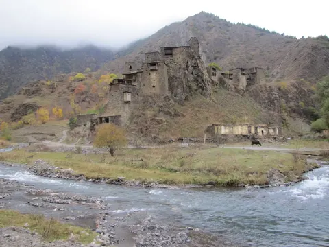
Roshka itself is a small stone-built village of Piraketa Khevsureti at about 2,000 m, sitting under the jagged towers of the Chaukhi massif. Two of the region's best hikes start here:
- The three Abudelauri lakes — green, blue and white, each a different colour, at 2,500–2,800 m
- The Juta–Roshka traverse over the Chaukhi pass — the classic two-day route linking Khevsureti and Khevi
- The stroll to the boulders — just 1 km and 10 minutes from the village
In June the slopes bloom with rhododendron; in September the air is glass-clear. In winter snow shuts the village in, and most hosts move down to the lowlands.
Practical advice
The lake hike is a full-day affair — start early and carry water, as springs are scarce on the trail. The village has a handful of family guesthouses; call ahead in summer. There is no ATM and no shop, so stock up on cash and food no later than Barisakho. Weather turns fast: pack a rain shell even in August. Mobile signal only works from higher ground.
How to get there from Tbilisi
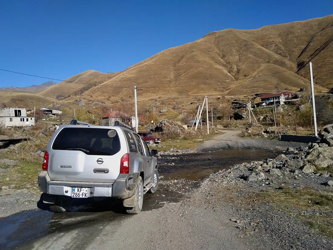
From Tbilisi take the Georgian Military Highway (E117) to Zhinvali, then turn towards Barisakho up the Pshavi Aragvi valley — 119 km and about three hours in total. Beyond Zhinvali the asphalt gradually gives way to potholed concrete and dirt; the final turn-off to Roshka is steep and stony, and the last kilometres are properly rough. You genuinely need a high-clearance SUV, more so in wet weather. Refuel in Zhinvali or Barisakho — there are no petrol stations further on.
Click a marker for details. Coloured lines are ready-made road trips.
Nearby places
Abudelauri Lakes
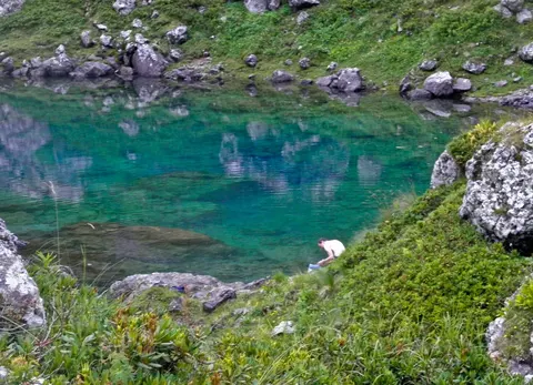
Three glacial lakes — Blue, Green and White — under the Chaukhi massif at 2,500–2,800 m, the finest day hike in Khevsureti.
Juta and the Chaukhi Massif
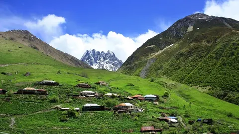
One of Georgia's highest inhabited villages at 2,150 metres, under the pale rock wall of the Chaukhi ridge.
Datvisjvari Pass
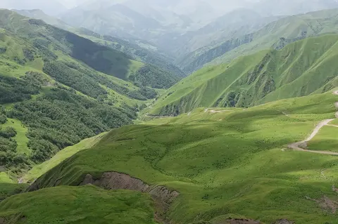
The 2,676 m pass on the Shatili road — the gateway to Khevsureti and one of Georgia's most dramatic mountain drives.
Shatili
A stone fortress-village in Khevsureti on the Chechen border — one of the most striking places in the Caucasus.
Best car for this trip
Unpaved sections
Guides
- Do You Need a 4x4 in Georgia? We rate the road surface and the minimum car class for all 267 places in our database. 227 of them need nothin
- Winter Driving in Georgia: What Closes, What Opens, Which Car Of the 267 places we map, 161 are in season in winter and 52 are flagged as not reachable year-round. The pass
Pickup locations
Car Rental in Tbilisi — 95 km (straight line)
Booking and enquiries
The easiest way to reach these places is by car — you pick the route and the stops.