Nakerala Pass
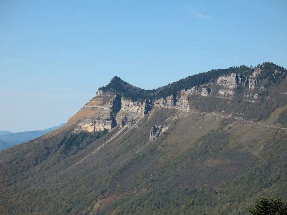
A pass above 1,200 metres between Tkibuli and Racha, with a limestone wall and two valleys in view.
- Time needed
- 1 h
- From Tbilisi
- 255 km · 4:00
- Road
- Paved
- Car needed
- Economy class
- Season
- May–October
- Entry
- free
Nakerala is where Imereti ends and Racha begins. The pass lies in Tkibuli municipality at about 1,230 metres, on the Tkibuli–Ambrolauri road — the main way into Racha from the west.
Nakerala is also the name of the limestone ridge. The white, near-vertical wall runs for some thirty kilometres above the Tkibuli valley and is visible from far off; it forms the natural boundary between the two historic provinces.
What you see from the top:
-
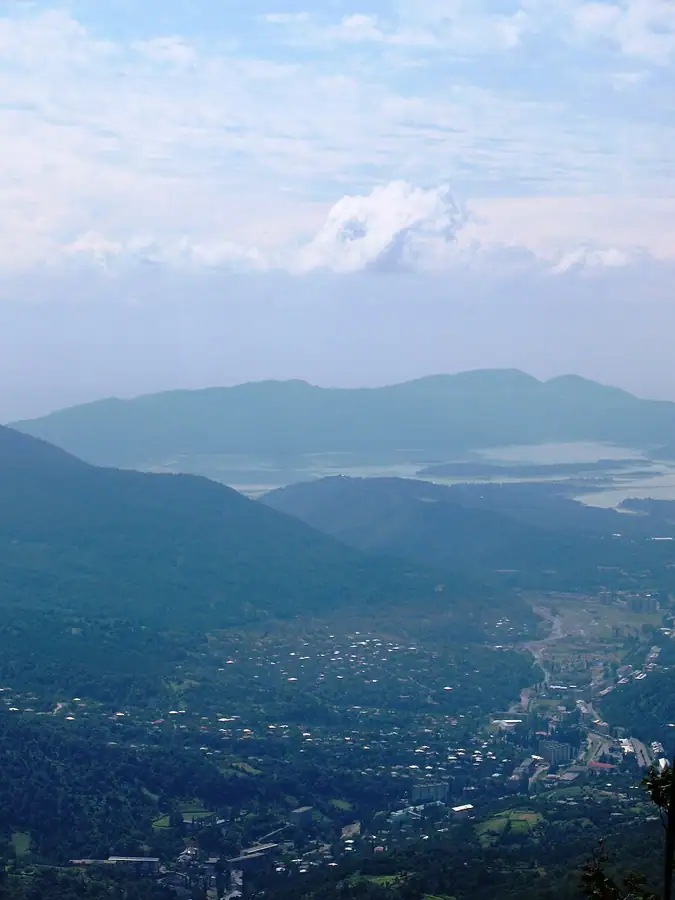
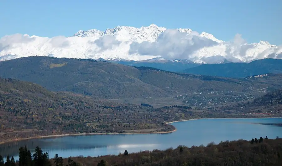
south, the Tkibuli valley, the reservoir and beyond it the Colchic lowland
-
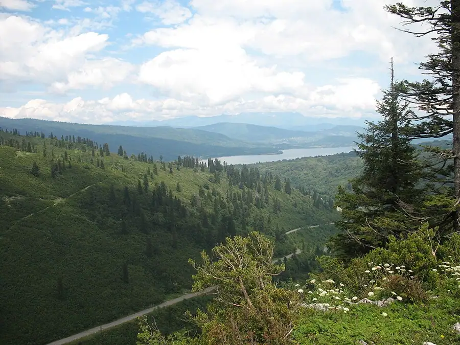
north, the villages of Racha, the Shaori reservoir and the Khvamli massif
-
east, the Tskhrajvari ridge, and in clear weather the main range of the Caucasus behind it
A walking trail leaves the pass towards Tskhrajvari: three to four hours over alpine meadow along the edge of the Nakerala wall. It is one of the best day walks within reach of Kutaisi and is not technically difficult, but there is no water on the route.
On the pass itself there is almost nothing built — a few pull-ins, a stall selling honey and churchkhela in season, and wind. It is worth stopping in the evening, when mist settles over the lowland and only the top of the wall is still lit.
The wall itself is worth understanding. It is a slab of Cretaceous limestone lifted and tilted along the edge of the Racha range, and its base is riddled with caves and springs — the same rock that produces the karst of Okriba further west. Behind the rim the ground flattens into meadow: cattle are brought up here in summer and hay is cut. In June the meadow is full of wild flowers, and by late August it has dried to yellow.
Practical advice
An hour for the stop, three to four if you walk out towards Tskhrajvari. The wind blows almost constantly on the pass and the temperature is around ten degrees lower than in Kutaisi, so take a jacket even in summer. Cloud comes down fast and the view can disappear in minutes. There is no water on the trail. The road is kept open in winter, but snow and ice demand winter tyres and some experience, and traffic is stopped during blizzards.
How to get there from Tbilisi
Take the E60 west from Tbilisi to Zestaponi, then head north through Terjola and Tkibuli towards Ambrolauri — about 255 km in all, four hours. Beyond Tkibuli the road climbs continuously for some twenty kilometres in tight hairpins; the surface is asphalt and generally in good condition. Fill up in Zestaponi or Tkibuli, because there is no fuel station between the pass and Ambrolauri. In dry weather an economy car is sufficient.
Click a marker for details. Coloured lines are ready-made road trips.
Nearby places
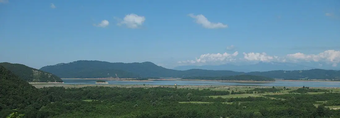 Lake
LakeTkibuli Reservoir
A man-made lake below Tkibuli under the white cliff of Nakerala — a quiet stop on the way to Racha.
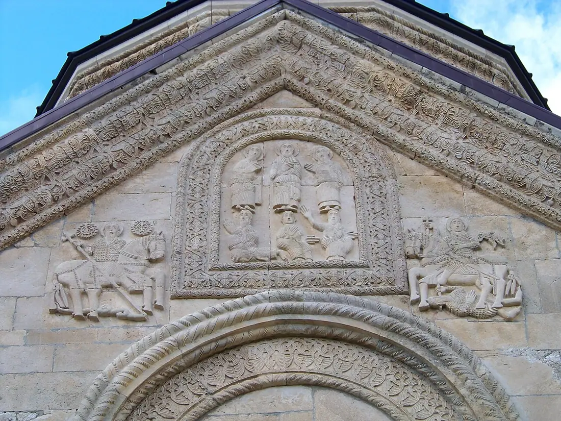 Monastery
Nikortsminda Cathedral
An 11th-century cathedral covered in exceptional stone carving, with late medieval frescoes inside.