Tkibuli Reservoir
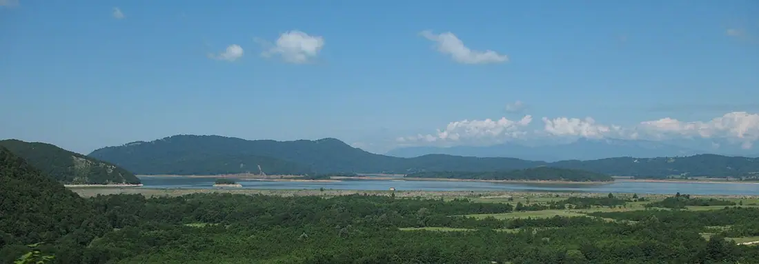
A man-made lake below Tkibuli under the white cliff of Nakerala — a quiet stop on the way to Racha.
- Time needed
- 2 h
- From Tbilisi
- 230 km · 3:30
- Road
- Paved
- Car needed
- Economy class
- Season
- May–October
- Entry
- free
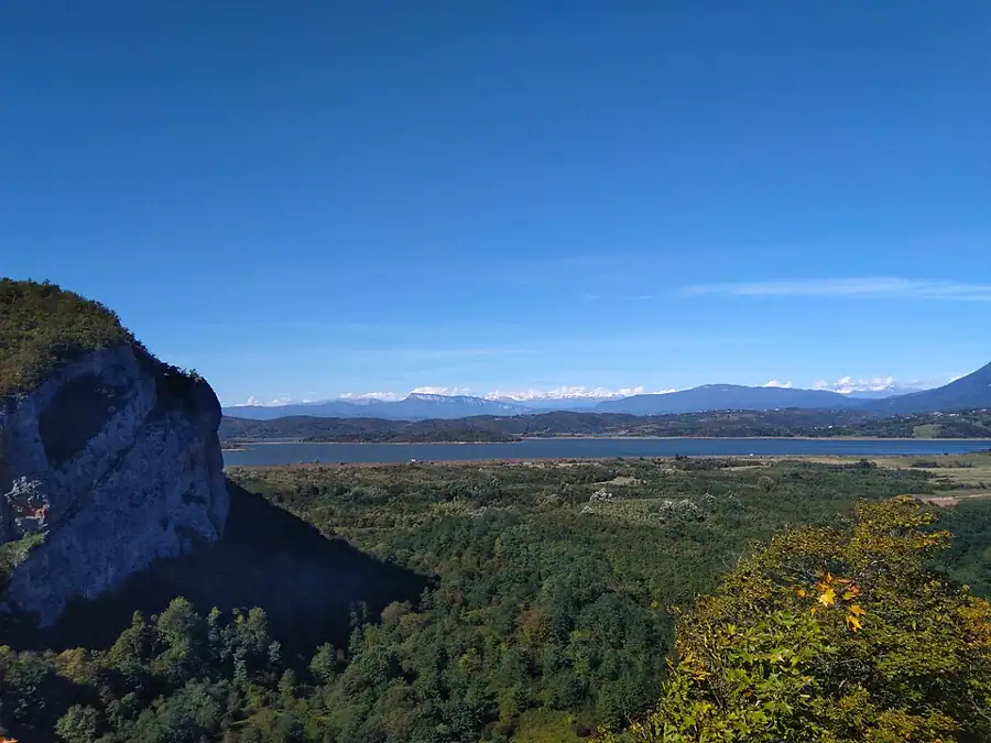
Tkibuli reservoir is part of a hydroelectric scheme rather than a resort, which is exactly why it is quiet. The lake lies south-west of Tkibuli at about 520 metres, and to the north the white limestone wall of Nakerala marks the boundary between Imereti and Racha.
The town sits between two reservoirs whose difference in level is more than six hundred metres: Shaori above on the edge of Racha, Tkibuli below. That drop is what generates the power. The arrangement is typical Soviet-era engineering and still works.
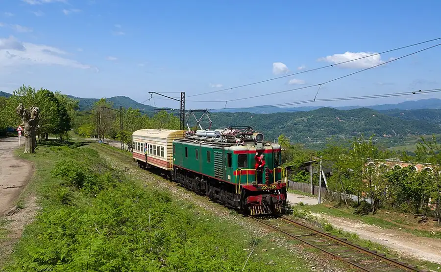
Tkibuli itself is a mining town. Coal has been dug here since 1846 and the settlement was made a town in 1939. More than twenty thousand people lived here in Soviet times; the population roughly halved in the 1990s. The mines still operate and have been suspended more than once after fatal accidents. Tea is also grown in the surrounding hills.
What you actually do at the lake:
-
fish, as the locals do along the shore
-
picnic in the shade on the north-eastern bank
-
photograph the Nakerala wall across the water, best in the evening
Nothing on the shoreline is developed: no cafe, no changing rooms, no marked trail. Water levels move with the demands of the power station and by late summer a muddy band is exposed. Think of it as an hour's stop on the way up to the Nakerala pass or into Racha, not as a destination in itself.
There is a second reason to come up here, and it is the drive itself. The road from Kutaisi to Tkibuli climbs steadily through tea terraces and beech forest, and the reservoir is the point where the landscape changes character: below it everything is Colchic lowland, above it the limestone of Racha begins. If you are heading for Nakerala or Ambrolauri, this is the natural place to stop and look back at where you have come from.
Gallery

Practical advice
One to two hours. There is no infrastructure on the shore, so bring water, food and a bag for your rubbish. Swimming is not advisable: the bank is steep, the bottom muddy, and the level depends on the power station and can change without warning. In summer there are flies and mosquitoes, so repellent helps. Shops, fuel and cafes are five minutes away in Tkibuli. In winter parts of the shore carry snow and ice.
How to get there from Tbilisi
Take the E60 west from Tbilisi to Zestaponi, then north through Terjola towards Tkibuli — about 230 km in all, three and a half hours. The road is asphalt, and the last twenty kilometres narrow as they cut into the valley. Shortly before Tkibuli a road drops away to the left towards the reservoir; the final couple of kilometres are gravel but passable. Fuel is available in Zestaponi and Tkibuli. An economy car is sufficient.
Click a marker for details. Coloured lines are ready-made road trips.
Nearby places
 Mountain
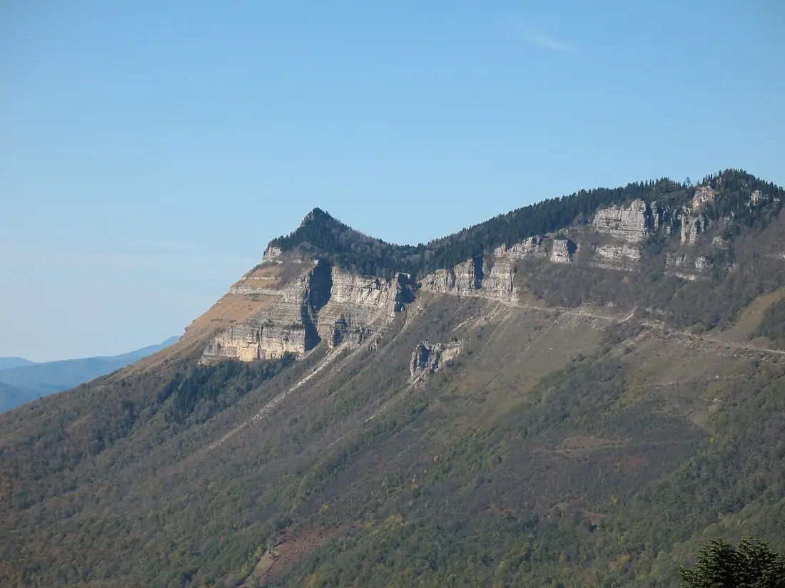
Nakerala Pass
A pass above 1,200 metres between Tkibuli and Racha, with a limestone wall and two valleys in view.
 Cave
CaveTsutskhvati Caves
A thirteen-storey karst system in the Chishura gorge, where traces of Neanderthals have been excavated.
 Monastery
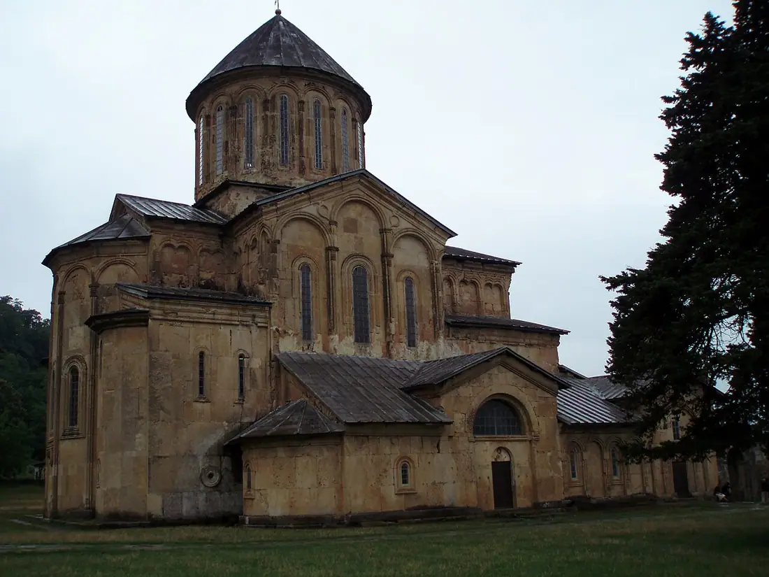
Gelati Monastery
The monastery and academy founded by David the Builder, and a UNESCO World Heritage Site.