Shaori Reservoir
A pine-fringed highland reservoir near Nikortsminda, at around 1,130 metres.
- Time needed
- 3 h
- From Tbilisi
- 305 km · 5:15
- Road
- Mostly paved
- Car needed
- Crossover / SUV
- Season
- May–October
- Entry
- free
Shaori lies on the Racha plateau at roughly 1,130 metres above sea level. It is not a natural lake: the reservoir was created in the Soviet period to feed a hydroelectric scheme, flooding the Shaori basin. Traces of that remain visible — when the water level drops, the stumps of old trees and the outlines of drowned fields appear along the shore.
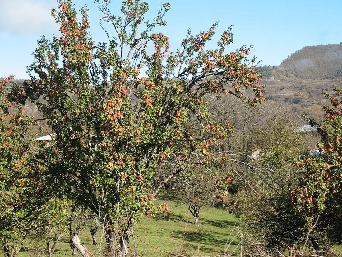
Pine forest and meadow surround the water, with the ridges of Racha standing on the horizon. This is one of the few places in the region with genuinely wide open space; the rest of Racha is narrow gorges and dense forest.
What people do here:
- camp along the shore, especially in July and August
- fish, mainly for carp and trout
- walk the shoreline and the pine woods
- stop for a picnic on the way out from Nikortsminda or Ambrolauri
Swimming is possible, though the water is high-altitude cold and stays cool even in July.
In winter the lake partly freezes and the access road fills with snow, so between November and April the trip is not worth making. The best window is June to September, when the meadows are green and evening temperatures are comfortable.
Practical advice
There is essentially no infrastructure: no cafe, no toilets, no shop at the shore. Bring water, food and a rubbish bag, and carry your waste back out. If you camp, pitch on dry ground sheltered from the wind — nights drop towards ten degrees even in August. Insect repellent is not optional here in midsummer. The nearest fuel and ATM are in Ambrolauri, about thirty kilometres away.
How to get there from Tbilisi
The approach is the same as for Nikortsminda: E60 towards Kutaisi, then north through Tkibuli and up the mountain road into Racha. Past Nikortsminda turn east and drive about twenty kilometres to the lake — around 305 km and five hours fifteen in total. The last stretch is partly gravel and turns muddy after rain, which is where extra ground clearance genuinely helps. In winter the road is closed by snow, and there is no maintained alternative.
Click a marker for details. Coloured lines are ready-made road trips.
Nearby places
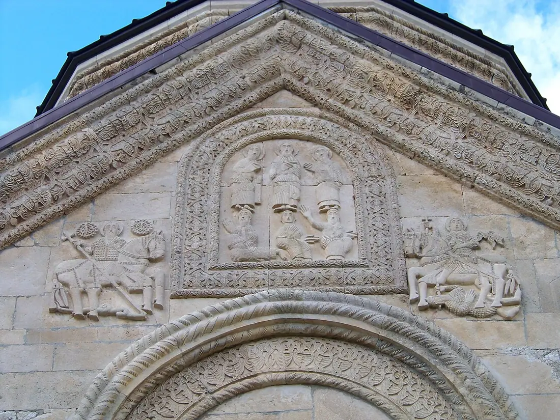 Monastery
Nikortsminda Cathedral
An 11th-century cathedral covered in exceptional stone carving, with late medieval frescoes inside.
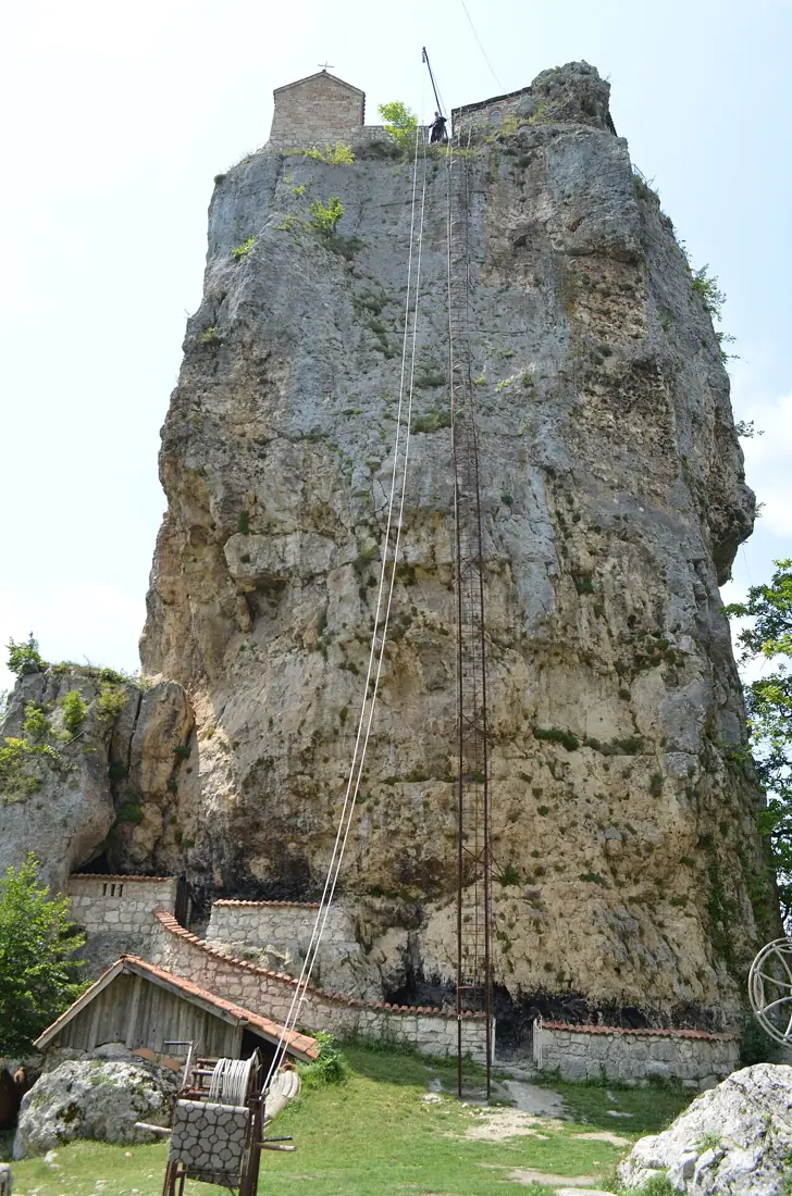 Monastery
Katskhi Pillar
A forty-metre limestone monolith with a church on top — visitors cannot climb it.
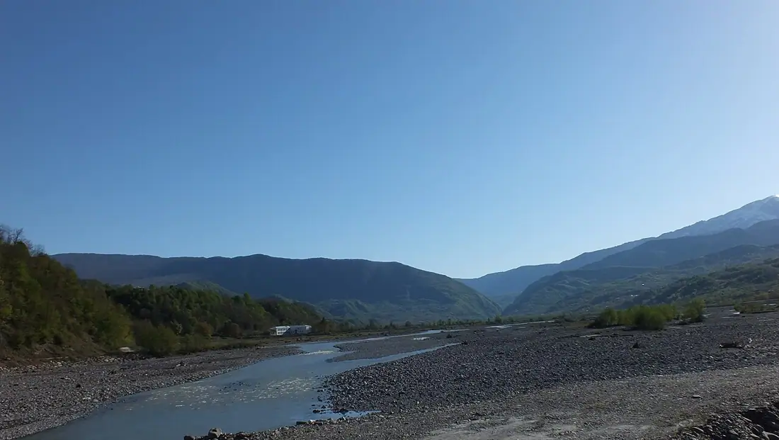 Town
TownTsageri and Lechkhumi
The centre of Lechkhumi in the Tskhenistskali valley — wine country, fortresses and the Lajanuri reservoir.
Booking and enquiries
This site is informational — there is no online payment. Call or email us to book.