Vashlovani National Park
The driest and strangest corner of Georgia — semi-desert, clay badlands and pistachio woodland on the Azerbaijani border.
- Time needed
- 6 h
- From Tbilisi
- 190 km · 4:30
- Road
- 4x4 only
- Car needed
- Off-road 4x4
- Season
- May–October
- Entry
- ~15 ₾
Vashlovani shows you a Georgia that never appears on the postcards. South of Dedoplistskaro the ploughed fields thin out, the horizon flattens, and within twenty minutes you are in semi-desert: grey clay hills, salt-crusted gullies and scattered low trees that look more Anatolian than Caucasian.
The area has been protected since 1935 and became a national park in 2003. Its real value is a habitat that has almost vanished elsewhere in the South Caucasus — open arid woodland of wild pistachio and juniper, growing on slopes too dry for anything taller. The name comes from the wild apple trees that survive in the shaded gorges.
What you actually go to see:
-
The Alesilebi badlands, where rain has carved the clay into fins, ridges and blunt teeth, and nothing grows at all
-
Eagle Canyon, a rock gorge whose ledges hold nesting griffon and Egyptian vultures
-
Pantishara, the main camp in a dry riverbed, with a ranger cabin, a well and enough shade to sit out midday
-
Mijniskure, on the Alazani at the Azerbaijani border, where riverine tugai forest replaces the desert entirely
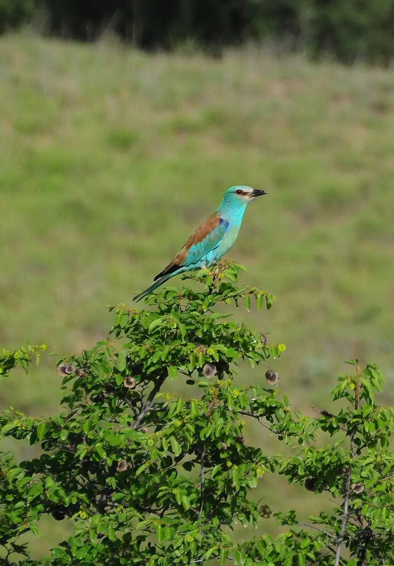
The wildlife list is unusual for Europe: striped hyena, wolf, lynx, wild boar, tortoises, Levantine vipers, and the largest concentration of vultures in Georgia. Goitered gazelle, extinct here for decades, has been reintroduced on the Eldari steppe and is occasionally seen.
Season dictates everything. April and May are green and full of flowers; July and August push past 40°C and bleach the whole landscape to bone; October is comfortable again and the light is long. After rain the clay tracks become genuinely impassable within an hour — this is not a caution added for form.
Practical advice
This is not a casual afternoon out. Permits and route registration are done at the visitor centre in Dedoplistskaro, where the entrance fee is also paid. Carry your own water, three litres per person per day as a minimum, because there is almost none inside. Shade is scarce, so a hat and long sleeves matter more than sunscreen alone. Wear boots that cover the ankle — snakes are common on the tracks. Mobile coverage fails across most of the park, and overnight stays are only allowed at marked camps.
How to get there from Tbilisi
Take the Kakheti highway from Tbilisi through Sagarejo and Tsnori to Dedoplistskaro, about 140 km of asphalt in reasonable condition. South of the town the road turns to gravel and then to twin clay ruts; it is another 50 km and roughly two hours to Pantishara. That section needs a genuine high-clearance 4x4 with proper tyres, not a soft crossover. Fill the tank in Dedoplistskaro, as there is no fuel, shop or workshop beyond it. In wet weather do not attempt the descent at all.
Click a marker for details. Coloured lines are ready-made road trips.
Nearby places
Takhti-Tepha Mud Volcanoes
A field of small cold mud craters on a flat clay plateau in southern Vashlovani — one of Georgia's oddest landscapes.
 Fortress
Khornabuji Fortress
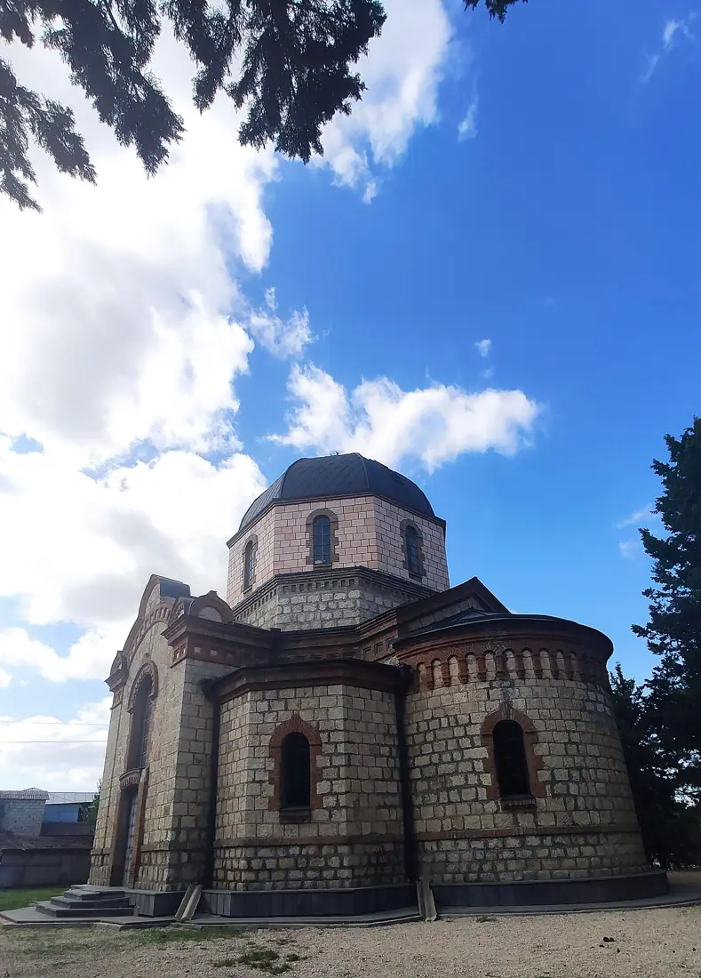
A medieval fortress on a steep isolated rock near Dedoplistskaro, commanding the southern edge of the Alazani plain.
 Town
TownSighnaghi
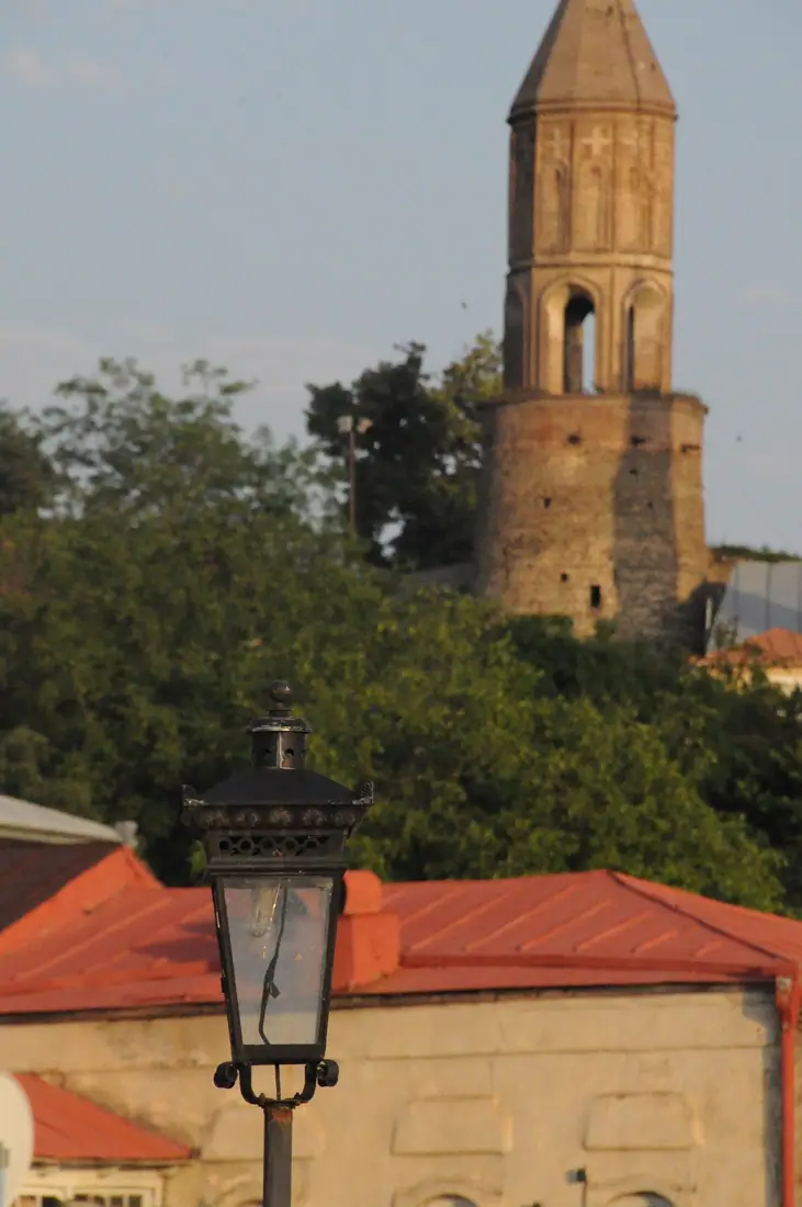
A small walled town on a ridge above the Alazani Valley, with the most photographed view in Kakheti.