Takhti-Tepha Mud Volcanoes
A field of small cold mud craters on a flat clay plateau in southern Vashlovani — one of Georgia's oddest landscapes.
- Time needed
- 2 h
- From Tbilisi
- 210 km · 5:15
- Road
- 4x4 only
- Car needed
- Off-road 4x4
- Season
- May–October
- Entry
- free
Takhti-Tepha means "flat hill" in Turkic, and the name is exact: a dry, cracked clay table in the southern part of Vashlovani where there is nothing but horizon and sun. Scattered across it are a few dozen small cones, the mud volcanoes.
They have nothing to do with real volcanoes. Gas trapped in the sediments below works its way upward, dragging water and clay with it, and what reaches the surface is a cold grey paste at roughly air temperature. Most cones are only a metre or two high; some are dry and set hard, while others burp slowly, raising a dome of mud that swells and splits. The sound is very quiet — you generally see a bubble before you hear it.
Bubbles come at intervals of a few seconds to a minute, so the sensible thing is to sit down and wait rather than walk from cone to cone. Water in some craters is saline and dries to a white crust around the rim; occasionally there is a thin oily film, which is unsurprising since the region sits at the edge of the Gare Kakheti oil field.
The setting matters as much as the craters. This is completely treeless country, pale brown and grey, with views running tens of kilometres to the mountains inside Azerbaijan and no building in sight. In April short grass greens the plateau and tulips flower in the hollows; by July everything is a single dusty tone and the heat is hard work.
Keep expectations proportionate: the crater field is about the size of a football pitch. What makes it worth the drive is that nothing else quite like it is reachable in Georgia, and that the silence out here is total.
Gallery
Practical advice
An hour at the craters is plenty, but getting there and back fills a whole day. Do not stand on a crater rim — the clay gives way deeper than it looks and the mud never really comes out of boots or car mats. There is no shade at all, so aim for early morning or the last two hours of light. Carry water and food; there is nothing to buy. Do not rely on a mobile signal. The visit only makes sense combined with a Vashlovani permit, since the access track runs through the park.
How to get there from Tbilisi
The road from Tbilisi to Dedoplistskaro is asphalt, about 140 km. From there you drop towards Pantishara and continue to the southern edge of the park, another 70 km of clay and gravel ruts, which takes roughly two and a half hours. This section is for a proper 4x4 in dry conditions only; wet clay packs into the tyres and the tracks become skating rinks. Take on fuel and drinking water in Dedoplistskaro. Going in with a single vehicle and no second car is not advisable.
Click a marker for details. Coloured lines are ready-made road trips.
Nearby places
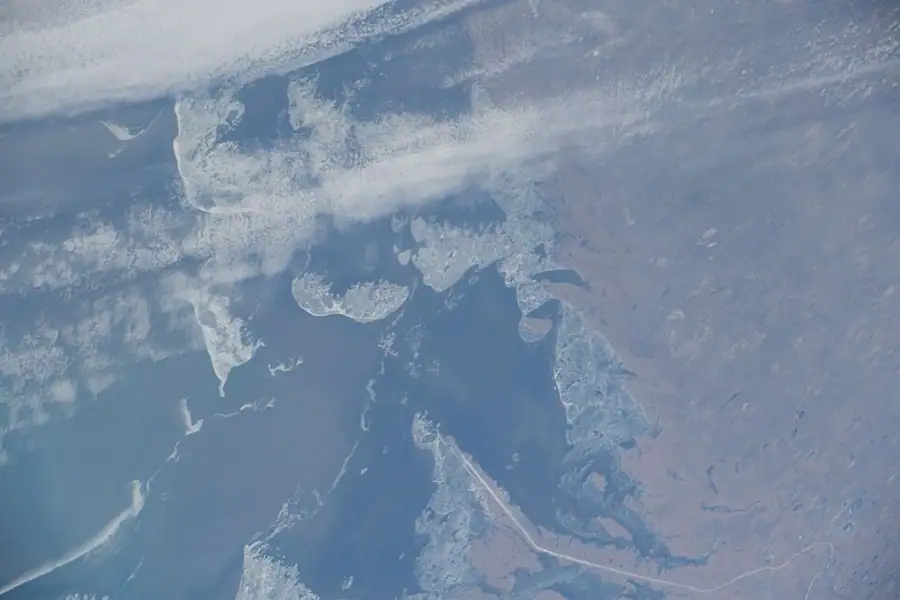
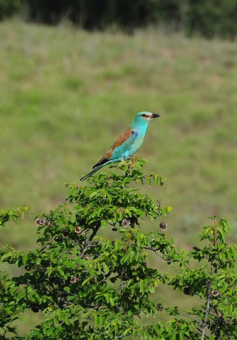 Nature
Vashlovani National Park
The driest and strangest corner of Georgia — semi-desert, clay badlands and pistachio woodland on the Azerbaijani border.
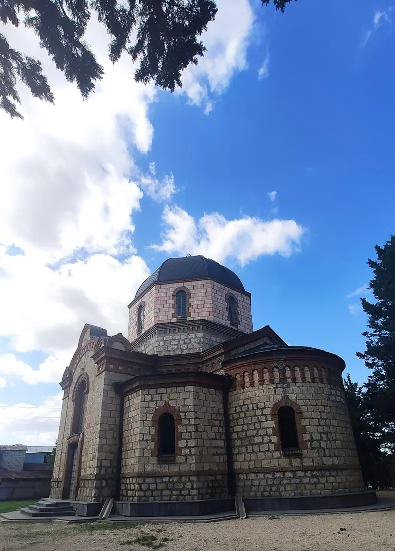 Fortress
Khornabuji Fortress
A medieval fortress on a steep isolated rock near Dedoplistskaro, commanding the southern edge of the Alazani plain.
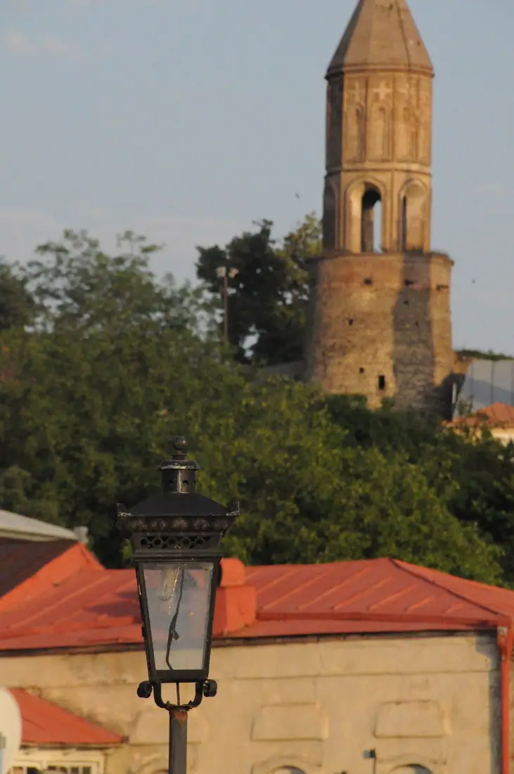 Town
TownSighnaghi
A small walled town on a ridge above the Alazani Valley, with the most photographed view in Kakheti.