Khornabuji Fortress
A medieval fortress on a steep isolated rock near Dedoplistskaro, commanding the southern edge of the Alazani plain.
- Time needed
- 1.5 h
- From Tbilisi
- 142 km · 2:30
- Road
- Mostly paved
- Car needed
- Crossover / SUV
- Season
- All year
- Entry
- free
Khornabuji reads better from a distance than from close up, which was rather the point of it. The fortress occupies a steep free-standing rock a few kilometres from Dedoplistskaro, at the southern edge of the Alazani plain, and from the flat farmland it is visible for tens of kilometres.
Georgian sources name the site as one of the principal strongholds of Hereti, the historical province of the far east. The name appears from the 4th century, though most of the standing masonry is 10th to 12th century. Khornabuji controlled the route running south from the Alazani plain across the Iori plateau towards Shirvan — a trade corridor and an invasion corridor at the same time, which is why it changed hands so often.
Locally the castle is called Queen Tamar's, but there is no documented connection to her. It is one of dozens of Georgian fortresses that have acquired the name over the centuries, and the guides who repeat it are passing on folklore rather than history.
The ruins sit on two levels: lower walls with tower stubs, and an upper citadel holding a rock-cut water cistern and the footings of a small church. The stone is local, yellow-grey, and merges into the crag so completely that it is not always clear where the rock stops and the building starts.
The reason to climb is the view. North lies the whole Alazani plain with the Caucasus wall behind it; south the ground turns to semi-desert running towards Vashlovani. Two entirely different countries, visible from one rock, and the border between them is more or less the line of this ridge.
The climb is short, but it is the whole visit. There is no museum, no interpretation panel and no restoration; everything the site offers is either masonry or horizon, and half of it is horizon.
Gallery
Practical advice
The climb takes 25 to 35 minutes on a steep path that slips on loose gravel. Good shoes are essential; there are no railings, chains or steps. It is almost always windy on the top. In summer come early or late — midday temperatures reach the high thirties and there is no shade anywhere on the rock. Carry water. There is no ticket, no kiosk and no guide, just a small clearing at the bottom where cars are left. An hour and a half covers the walk up and down comfortably.
How to get there from Tbilisi
Take the Kakheti highway from Tbilisi via Sagarejo, Badiauri and Tsnori towards Dedoplistskaro — 138 km of asphalt, narrow in the final section but sound throughout. From the town head north-east for about four kilometres on a dirt and gravel track to the base of the rock; an ordinary car manages this in dry weather, but after rain clearance matters and an SUV is the safer choice. Fuel up in Dedoplistskaro. Total 142 km, around two and a half hours.
Click a marker for details. Coloured lines are ready-made road trips.
Nearby places
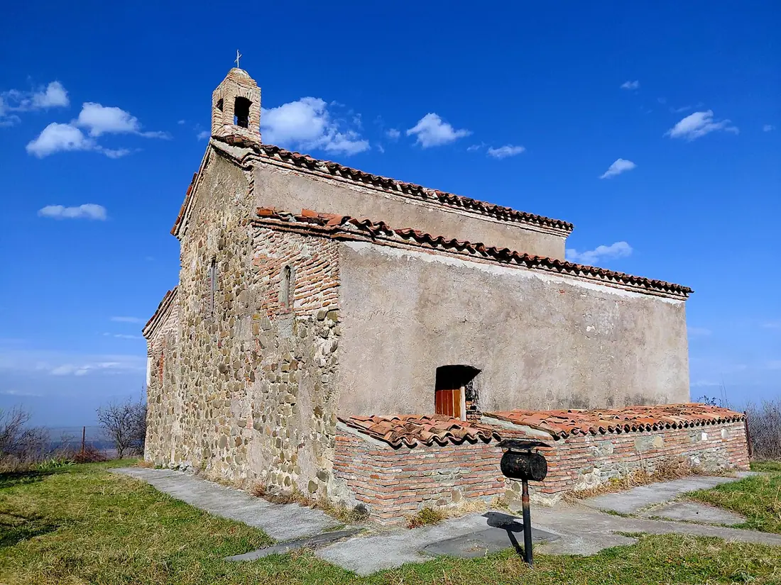 Monastery
Khirsa Monastery
One of the monasteries founded by the Assyrian Fathers, walled and towered, above the plain near the village of Tibaani.
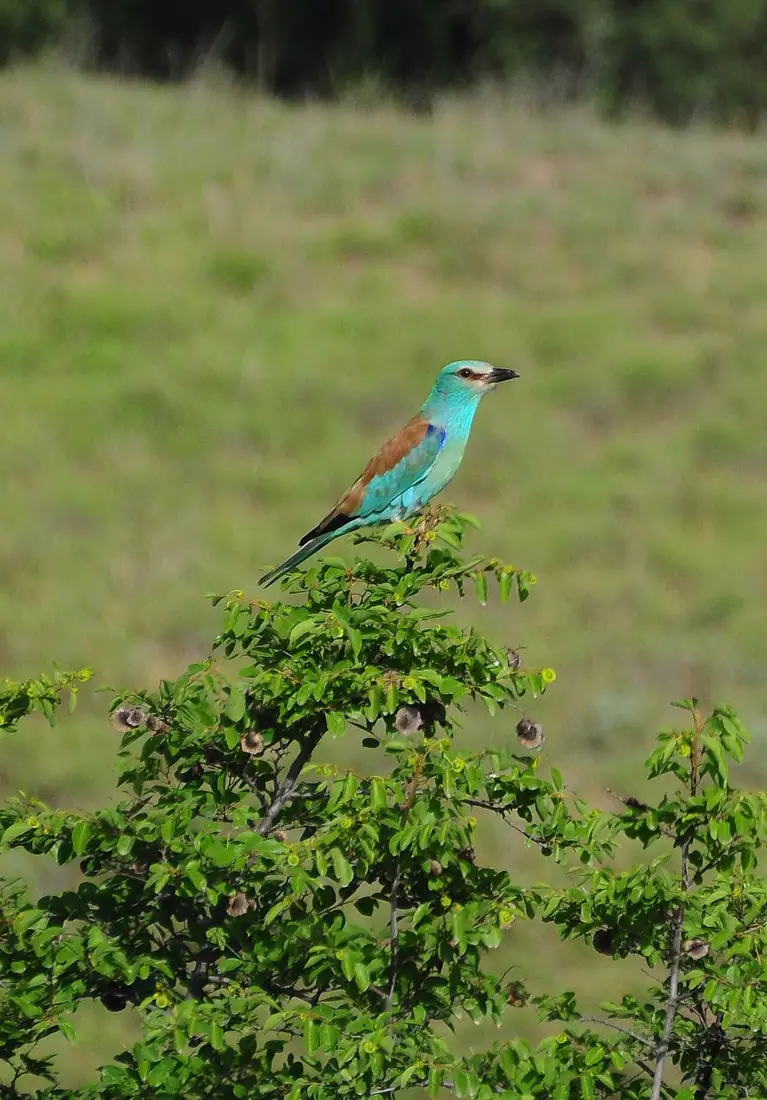 Nature
Vashlovani National Park
The driest and strangest corner of Georgia — semi-desert, clay badlands and pistachio woodland on the Azerbaijani border.
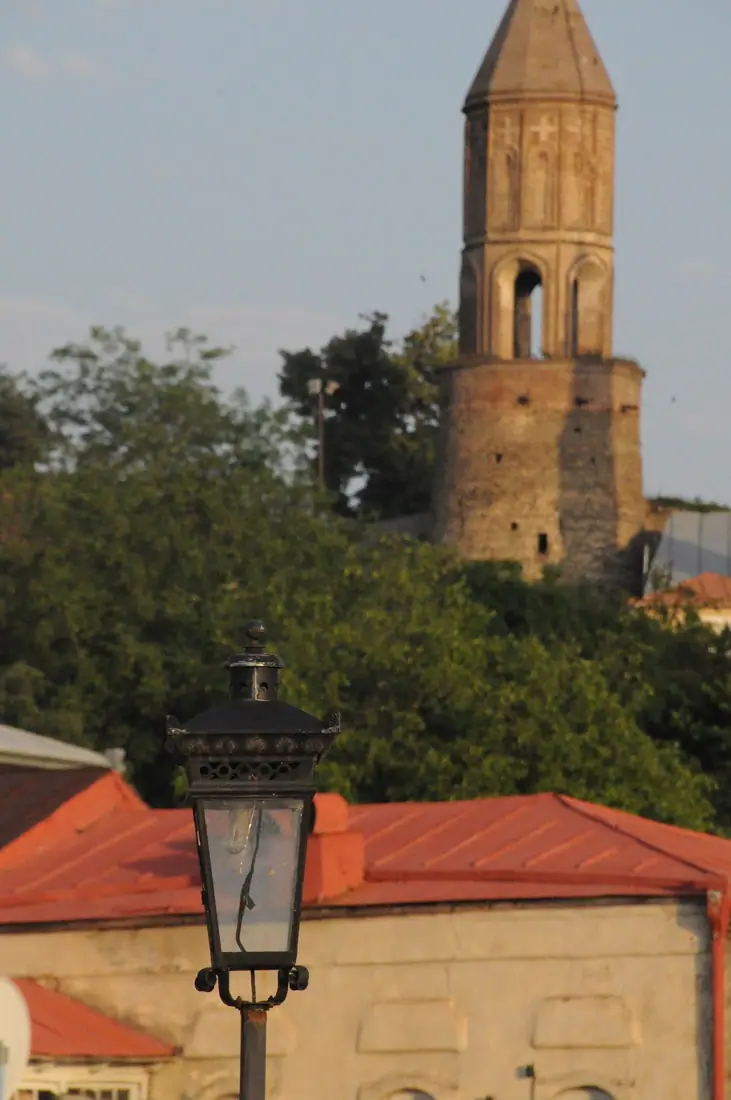 Town
TownSighnaghi
A small walled town on a ridge above the Alazani Valley, with the most photographed view in Kakheti.