Tmogvi Fortress
A ruined fortress spread over three rocky spurs above the Mtkvari gorge, between Khertvisi and Vardzia.
- Time needed
- 2 h
- From Tbilisi
- 256 km · 4:20
- Road
- Unpaved sections
- Car needed
- Crossover / SUV
- Season
- May–October
- Entry
- free
Tmogvi stands on the most dramatic stretch of the Mtkvari gorge, between Khertvisi and Vardzia — and unlike either of them, it has to be reached on foot.
The fortress is first mentioned in the 10th century. It was the key stronghold of the gorge, and a town stood below it at the foot of the rock. The great earthquake of 1088 wrecked Tmogvi, a disaster recorded in the Georgian chronicles; the town never recovered, and the village on the opposite bank is still called Nakalakevi, the place where a town used to be.
The name survives in Georgian literature too: Sargis Tmogveli, a 12th-century figure, is traditionally credited with the Georgian version of the romance Visramiani.
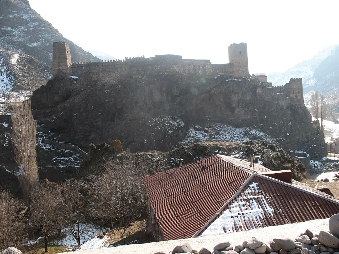
The ruins run across three separate rocky spurs joined by curtain walls. Towers and cisterns are clearly readable, and so is the most interesting feature: a covered passage cut down through the rock to the river, which is how the garrison drew water under siege. This solution appears in several Georgian cliff fortresses, but rarely as legibly as here.
The fortress is much larger than it looks from below: the walled area runs for several hundred metres, and simply walking between the three spurs takes half an hour. It also stayed in use long after the earthquake, held first by the Jaqeli princes and then by Ottoman garrisons well into the 16th century and beyond.
The site is entirely unmanaged: no made path, no railings, no signs, no ticket. The climb starts from a footbridge over the Mtkvari and takes thirty to forty-five minutes up a steep, stony slope. The wind blows almost constantly at the top.
What you get in return is the view down the valley towards Vardzia and along the loop of the Mtkvari, and a very good chance of not meeting another person all day.
Gallery
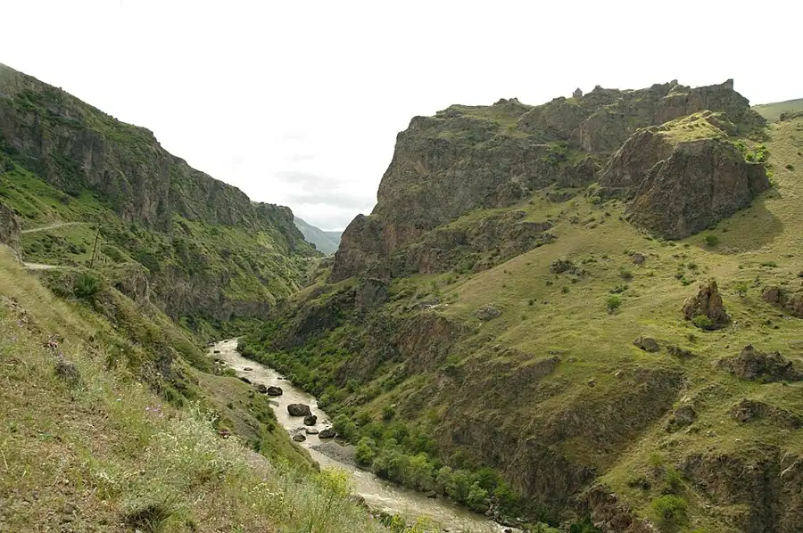
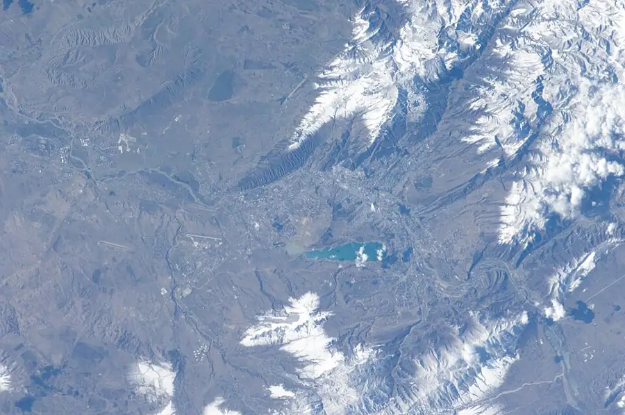
Practical advice
Allow at least two hours for the climb, the site and the descent. This is not a family stroll: the slope is steep, the stone is loose and the drops are unguarded. Do not go alone, and tell somebody where you are heading. Mobile coverage disappears in places. In summer there is no shade at all, so carry two litres of water, a hat and sunscreen. In spring and autumn the grass is high and ticks and snakes are a real possibility. In winter the climb is not worth attempting.
How to get there from Tbilisi
From Tbilisi drive via Borjomi and Akhaltsikhe towards Aspindza and Khertvisi, then follow the Mtkvari gorge towards Vardzia. Tmogvi appears about ten kilometres past Khertvisi, on the right-hand side of the gorge; the turn down towards Nakalakevi village is short and gravelled. The total is 256 km, roughly four hours twenty. Leave the car by the footbridge. A car with decent ground clearance is preferable, especially after rain. Fuel in Akhaltsikhe and Aspindza.
Click a marker for details. Coloured lines are ready-made road trips.
Nearby places
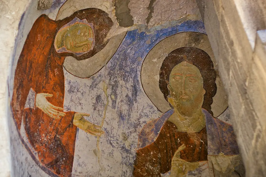 Cave
CaveVardzia
A 12th-century cave city and monastery cut into the Mtkvari gorge, the flagship monument of Queen Tamar's era.
 Fortress
Khertvisi Fortress
One of the oldest fortresses in Georgia, standing where two rivers meet on the road to Vardzia.
 Cave
CaveVanis Kvabebi
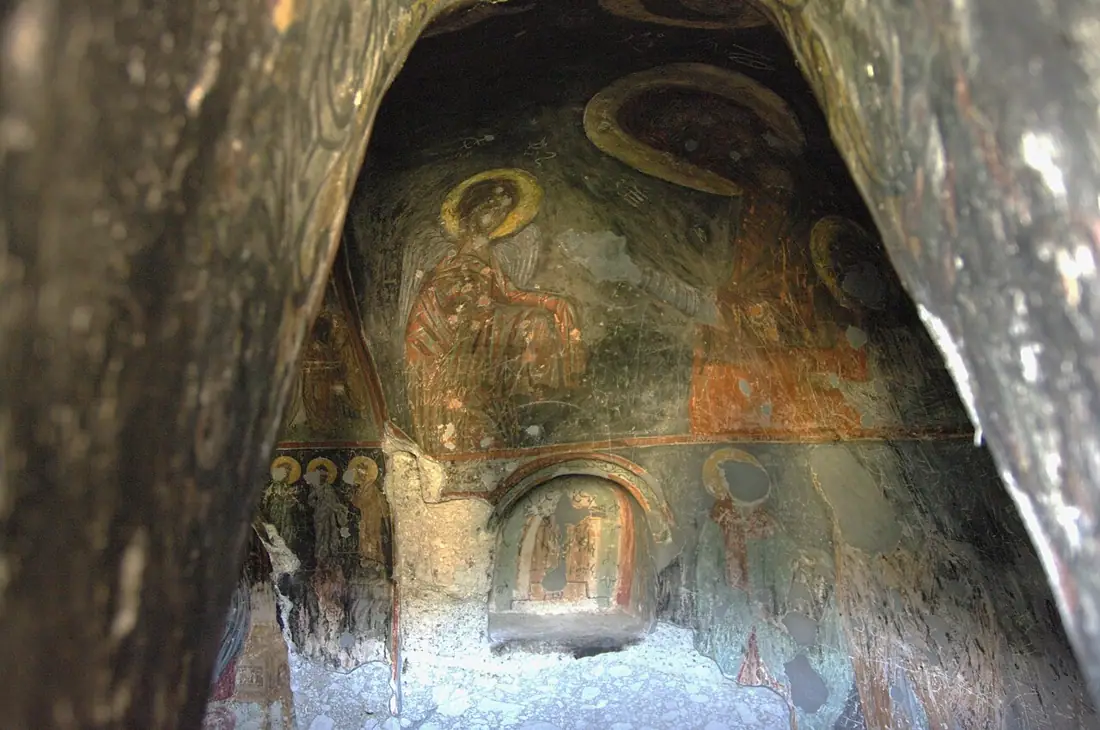
An 8th-century multi-level monks' town cut into a tuff cliff, two kilometres short of Vardzia.
 Monastery
Sapara Monastery
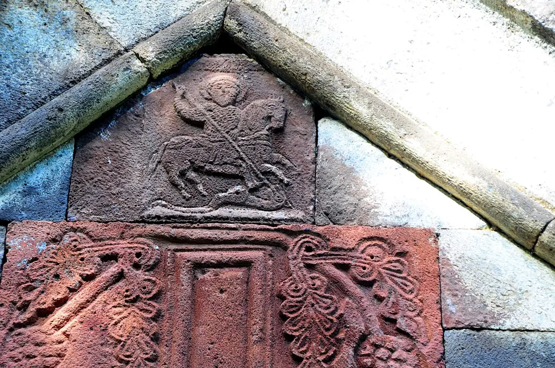
An active monastery hidden on a cliff terrace near Akhaltsikhe, with 13th-century frescoes.
Booking and enquiries
This site is informational — there is no online payment. Call or email us to book.