Shorapani Fortress
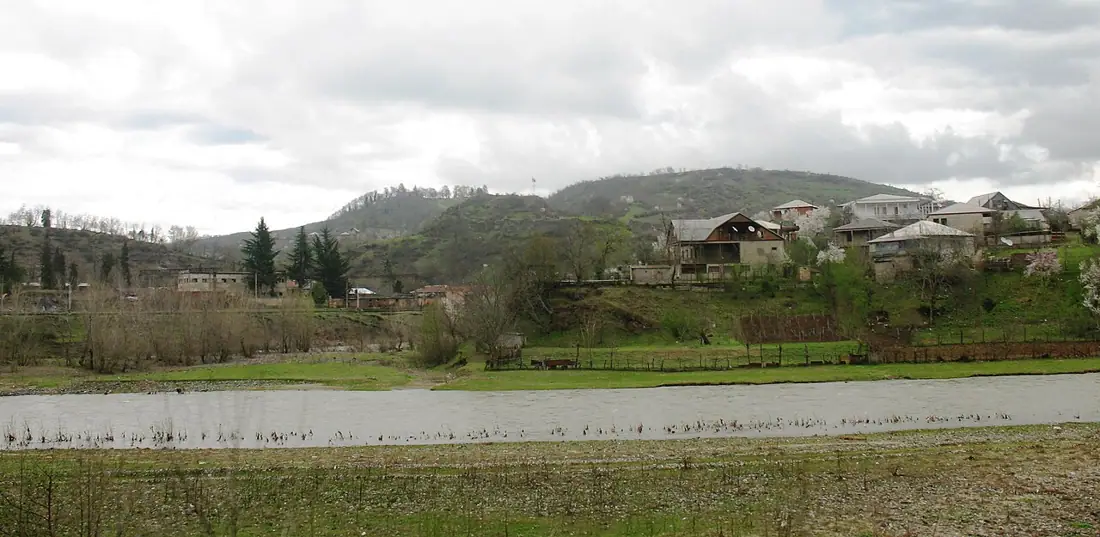
The ruins of a fortress on the site of ancient Sarapana, at the meeting of the Dzirula and the Kvirila.
- Time needed
- 1 h
- From Tbilisi
- 180 km · 2:35
- Road
- Paved
- Car needed
- Economy class
- Season
- All year
- Entry
- free
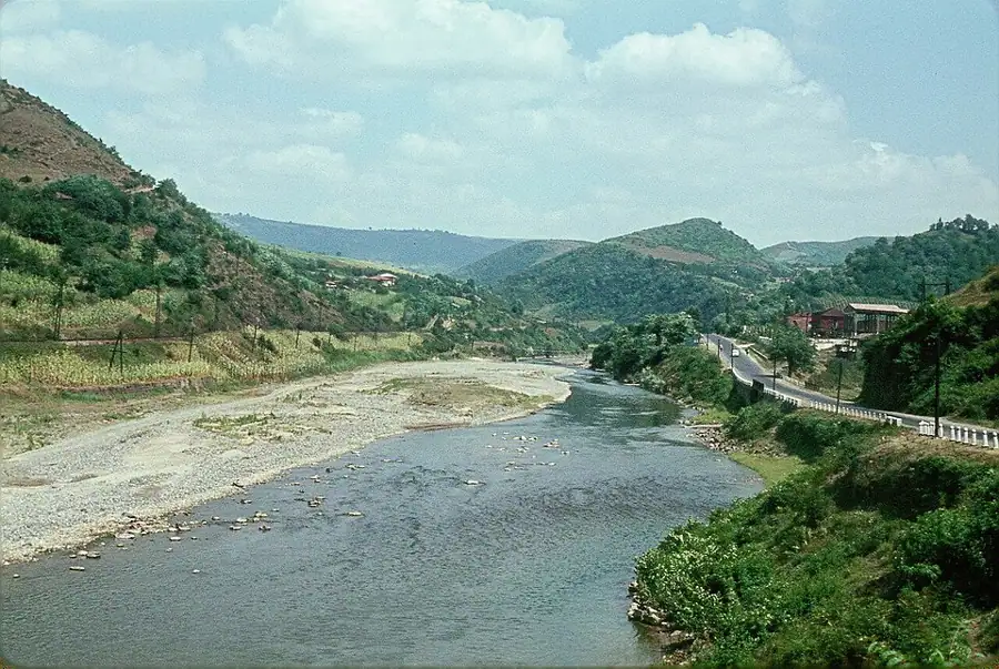
Shorapani is one of the points where Georgian geography turns into politics. The settlement stands at the confluence of the Dzirula and the Kvirila in Zestaponi municipality, and is generally dated back to the 3rd century BC.
Its importance comes from where it is. This is where the corridor begins that crosses the Likhi ridge and links western Georgia to eastern — Colchis to Iberia. Whoever held Shorapani held the crossing. That is why it appears in classical sources: Strabo calls it Sarapana, and Procopius names it Sarapanis and describes it as a strong position on the road running from Colchis into Iberia.
In the early medieval period Shorapani was the seat of the eristavis of Argveti, and the historical texts also speak of a Duchy of Shorapani. In Greek myth Sarapanis belongs to the route of the Argonauts: the Rioni and Kvirila system is the way by which, in the legend, the ship worked inland.
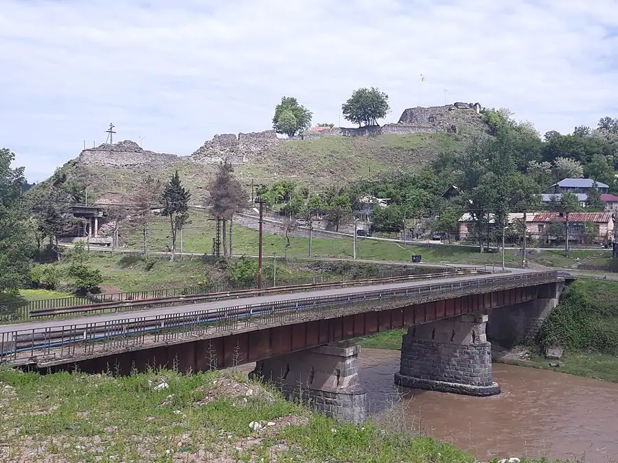
What you find today: fragments of stone wall climbing a low hill, the stump of a tower and grassy terraces. The masonry now visible is a good deal later than the classical fort — but the ground it stands on has been in use for two thousand years.
Honestly, as a monument of stone it is modest and you will not give it more than fifty minutes. It is interesting in context: the view over the confluence, the railway, and the narrow valley through which everyone travelling between east and west has passed for two millennia.
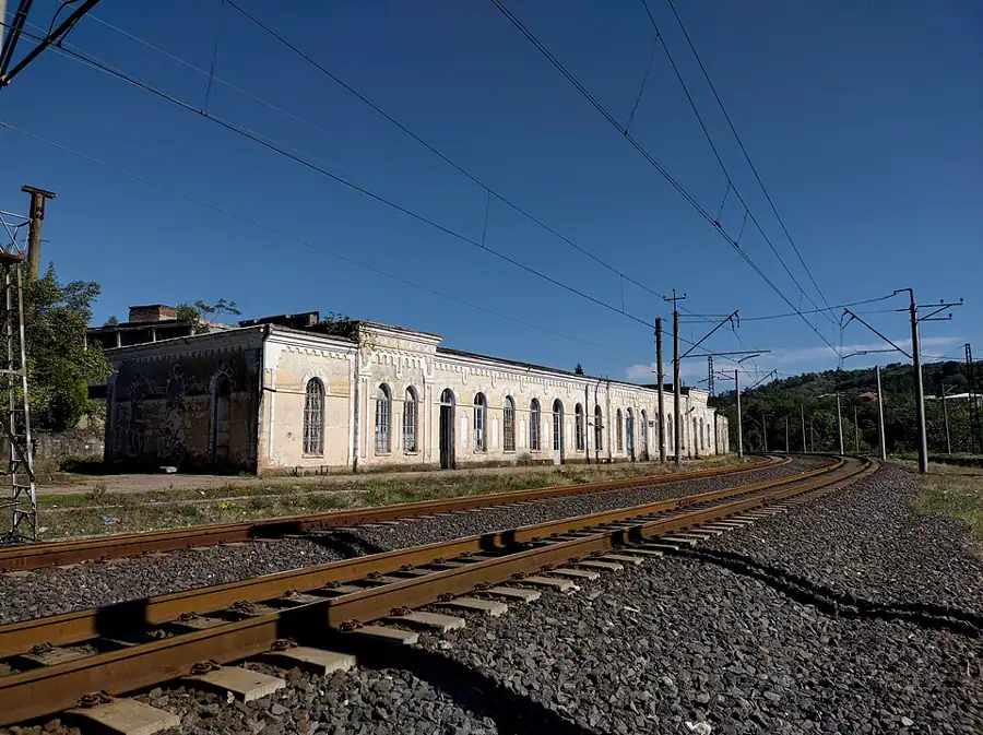
The same logic has a modern layer. The Tbilisi–Batumi railway runs through Shorapani, the old highway does too, and the new Rikoti expressway with its tunnels does the same job a few kilometres away. Three transport systems, two thousand years apart, all squeeze through one gap in the hills — which is the clearest possible demonstration of why anyone bothered to fortify this village.
Gallery
Practical advice
Fifty minutes is enough. Getting up the hill means an unmarked path through grass; in summer the grass is waist-high and there are ticks, so wear long trousers and closed shoes. Do not climb on the walls — the mortar is weathered and the edges are broken. There is no information board and no ticket desk. Toilets, shops and cafes are in Zestaponi, ten kilometres west. The path is slippery after rain.
How to get there from Tbilisi
Take the E60 west from Tbilisi through Gori and Khashuri; after the Rikoti section the road drops into the Dzirula valley — about 180 km in all, two hours thirty-five. Shorapani sits beside the highway at the entrance to the village; the street towards the fortress is narrow and the last few hundred metres are gravel. Leave the car on the village street and walk up. Fuel is available in Khashuri and Zestaponi. An economy car is enough.
Click a marker for details. Coloured lines are ready-made road trips.
Nearby places
 Monastery
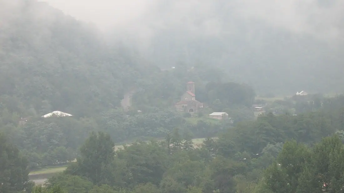
Ubisa Monastery
A 9th-century monastery of St George in the Dzirula valley, holding an almost complete cycle of 14th-century frescoes.
 Nature
Ajameti Managed Reserve
A relict oak and zelkova forest between Baghdati and Zestaponi, protected since 1935.
 Monastery
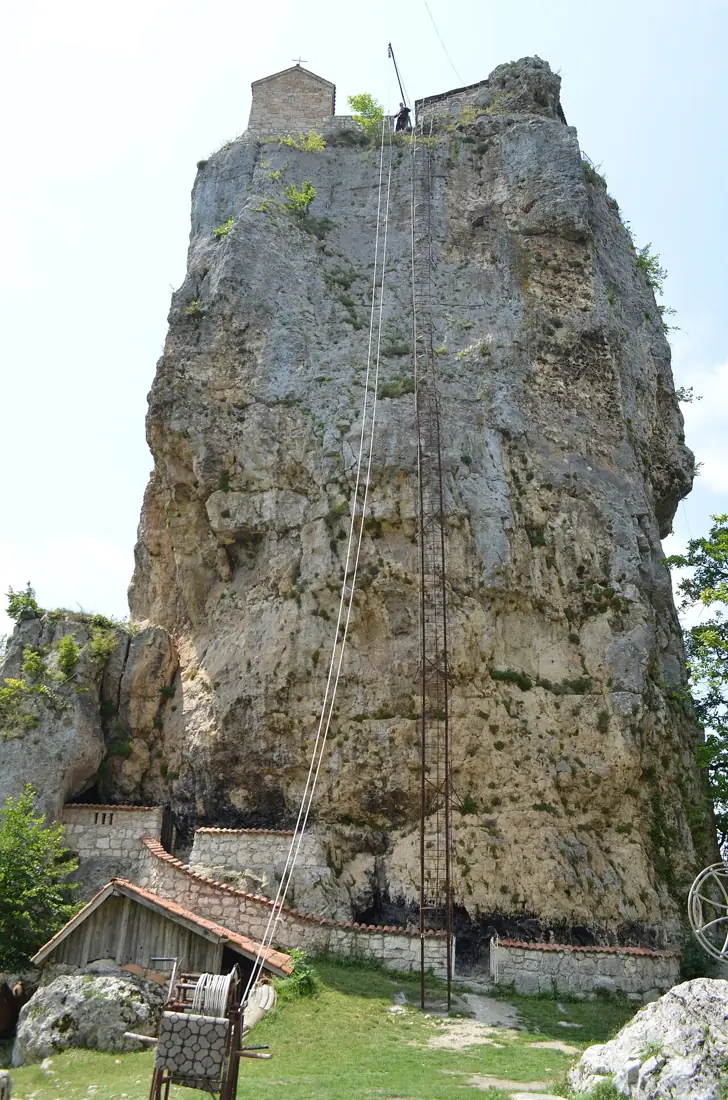
Katskhi Pillar
A forty-metre limestone monolith with a church on top — visitors cannot climb it.