Pasanauri and the Aragvi Confluence
A village on the Military Highway where the Black and White Aragvi meet and run side by side without mixing.
- Time needed
- 1 h
- From Tbilisi
- 92 km · 1:45
- Road
- Paved
- Car needed
- Economy class
- Season
- All year
- Entry
- free
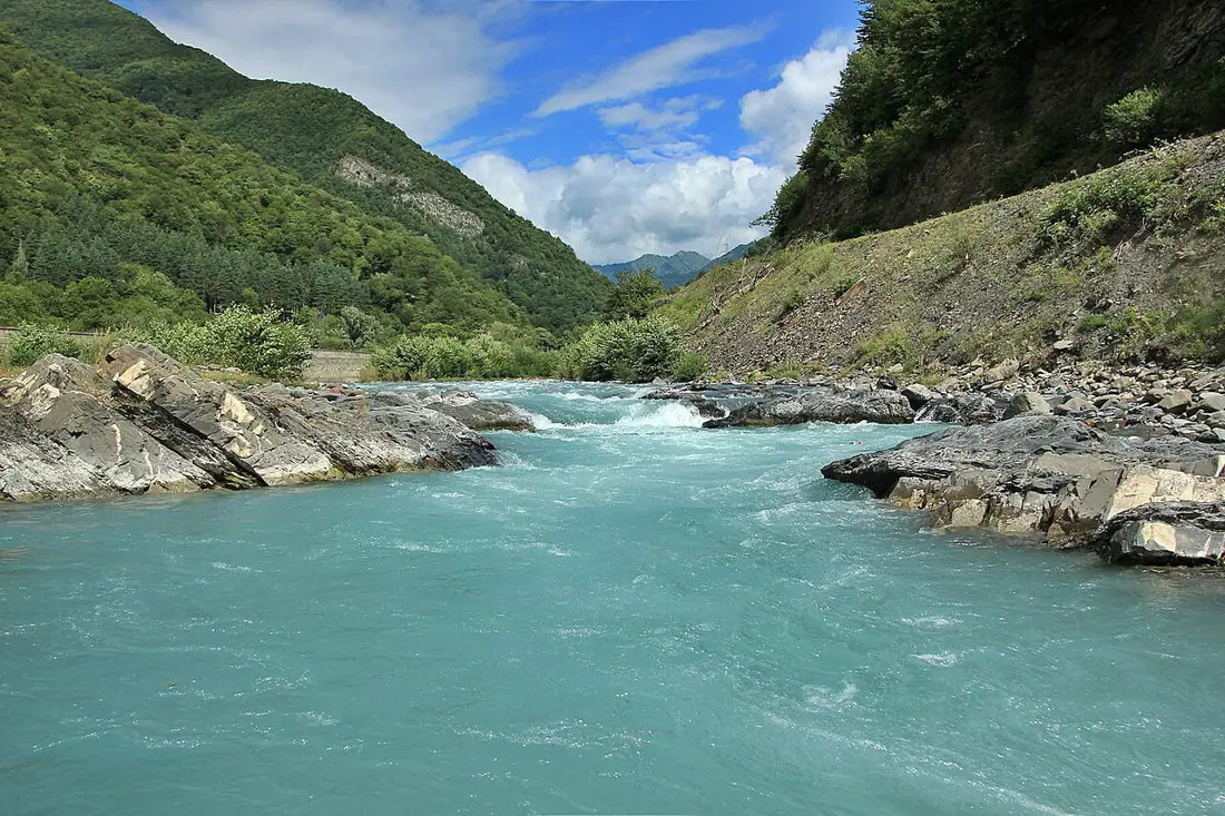
Pasanauri is where the Aragvi becomes one river. The Black Aragvi comes down from the Gudamaqari valley to the north-east, dark with shale and shadow; the White Aragvi arrives from the west, pale grey with limestone silt washed off the Gudauri slopes. They meet at the northern edge of the village, and for two or three hundred metres below the junction the two currents run side by side without mixing — a clean, visible seam down the middle of the riverbed.
This is best in late spring and early summer, when both rivers are high and the colour difference is at its strongest. By late August the flows drop, the silt settles, and the effect fades to something you have to be told about before you can see it. Stand on the road bridge, or walk down to the shingle bank below it.
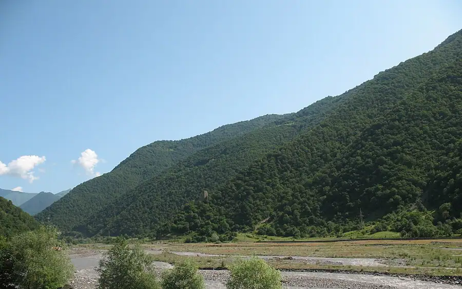
The village itself is a long strip of houses at 1,050 metres on the Georgian Military Highway, halfway between Ananuri and the climb to Gudauri. It grew as a Soviet climatic resort — the air is thin, cool and dry, and sanatoria sent patients here — and it remains a stopping place rather than a destination.
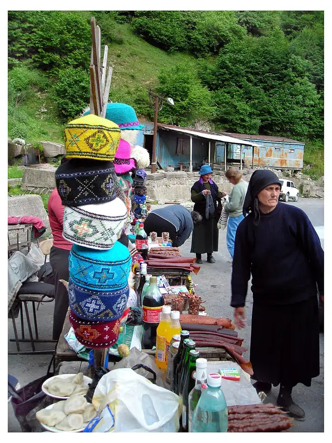
Pasanauri's second claim is khinkali. Locals will tell you the dumpling was invented in these mountains, where the meat was chopped rather than minced and cooked in its own juice. Whether or not the claim survives scrutiny, the roadside restaurants here take khinkali seriously and the standard is high. Trout farms along the river supply the other half of the menu.
Above the village the highway narrows and begins to climb. Pasanauri is the last place with a proper choice of shops and cafés before Gudauri, and in winter it is where drivers stop to fit chains or to wait out a closure at the pass.
Gallery
Practical advice
Half an hour to an hour: look at the confluence, eat, move on. The best view of the two waters is from the bridge at the north end of the village, and there is a lay-by on the highway to leave the car. Restaurants fill between one and three in the afternoon with tour buses, so arrive before or after. Khinkali are ordered by the piece, five make a light lunch, and they are eaten by hand with the top knot left on the plate. Toilets belong to the restaurants. In winter, check pass conditions before continuing north.
How to get there from Tbilisi
Follow the Georgian Military Highway (E117) north from Tbilisi through Mtskheta, past Zhinvali and Ananuri and on up the Aragvi — 92 km and about an hour and forty-five minutes. The road is asphalt throughout and in reasonable condition, but between Zhinvali and Pasanauri it is narrow, cut into the hillside and full of lorries bound for the Russian border, so overtaking takes patience. Fuel is available in Zhinvali and in Pasanauri itself. An economy car is enough; in winter carry chains, because the section above the village is the first to ice over.
Click a marker for details. Coloured lines are ready-made road trips.
Nearby places
 Fortress
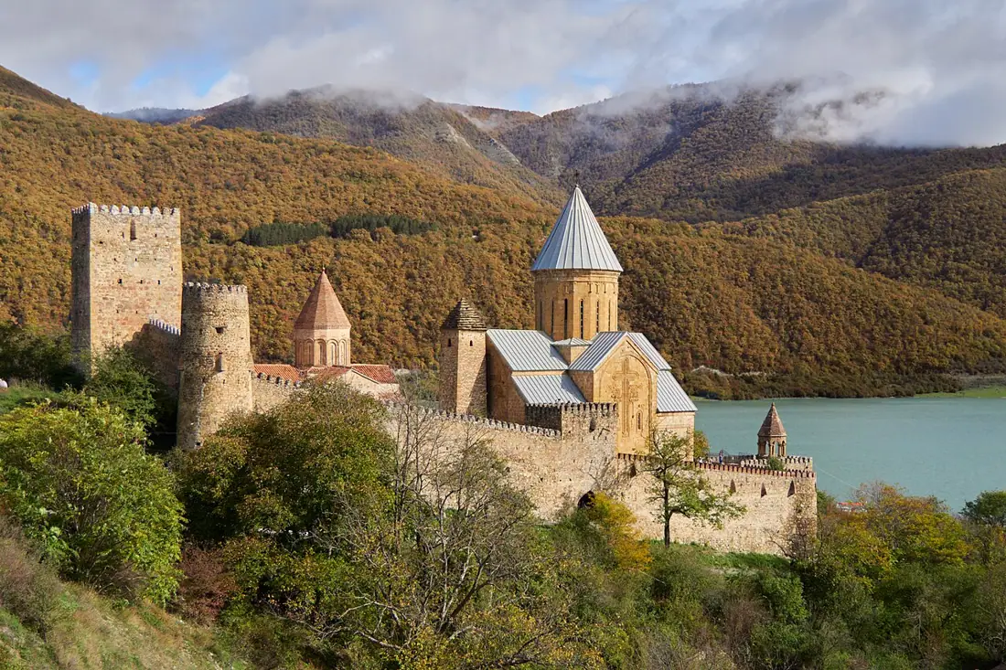
Ananuri Fortress
A 17th-century castle on the shore of the Zhinvali reservoir — the most photogenic stop on the Georgian Military Highway.
 Lake
LakeZhinvali Reservoir
A turquoise artificial lake in the Aragvi valley — the first big view on the Georgian Military Highway.
 Mountain
Khada Valley
A side gorge of the Aragvi near Kvesheti holding some sixty medieval towers among small, nearly emptied villages.
 Ski area
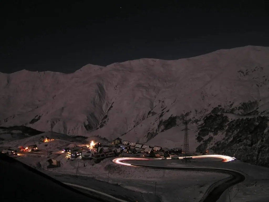
Gudauri and the Russia–Georgia Friendship Monument
Georgia's main ski resort below the Jvari Pass, with a mosaic-lined monument and an enormous mountain panorama.
Booking and enquiries
This site is informational — there is no online payment. Call or email us to book.