Muri Fortress
A Lechkhumi stronghold on the cliff above Tsageri — three towers with names that read like orders, and the whole valley below.
- Time needed
- 1.5 h
- From Tbilisi
- 326 km · 5:05
- Road
- Paved
- Car needed
- Economy class
- Season
- All year
- Entry
- free
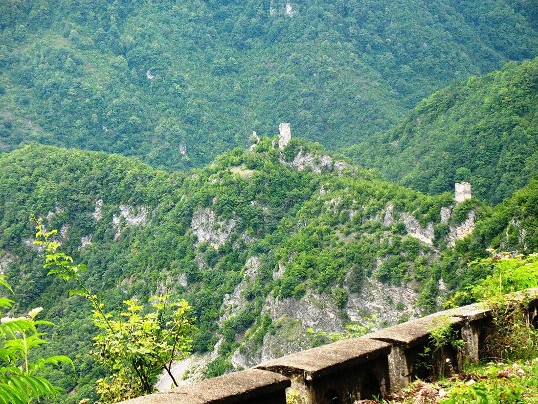
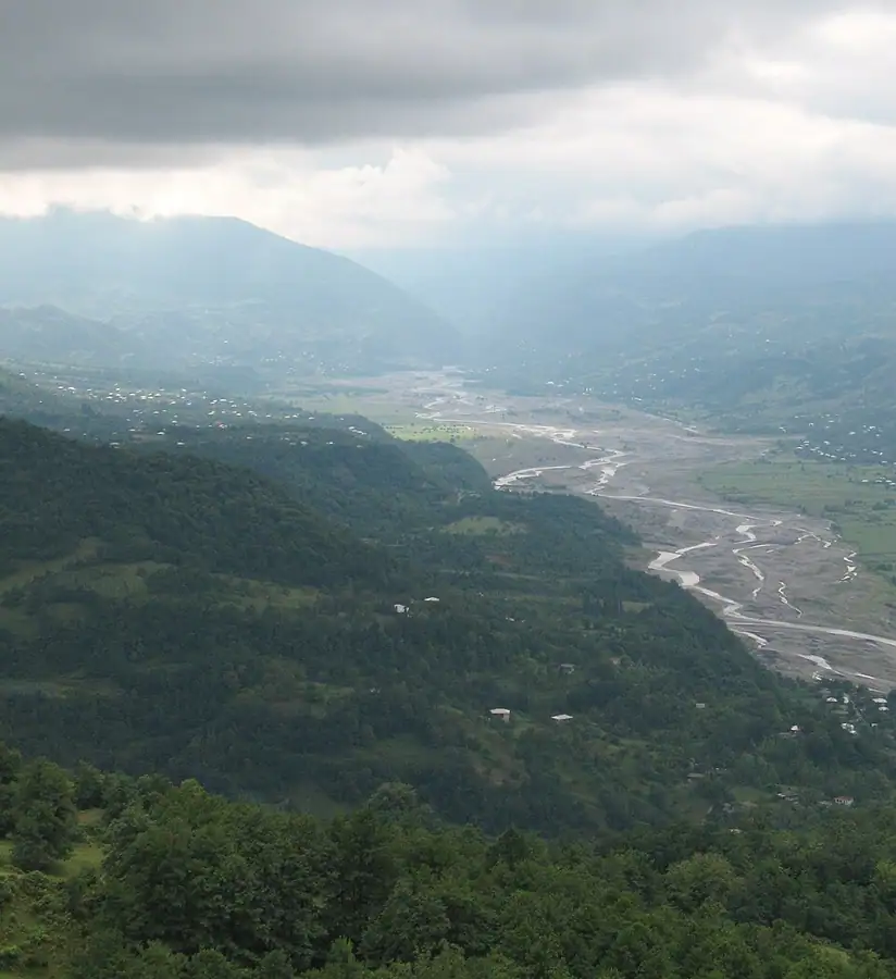
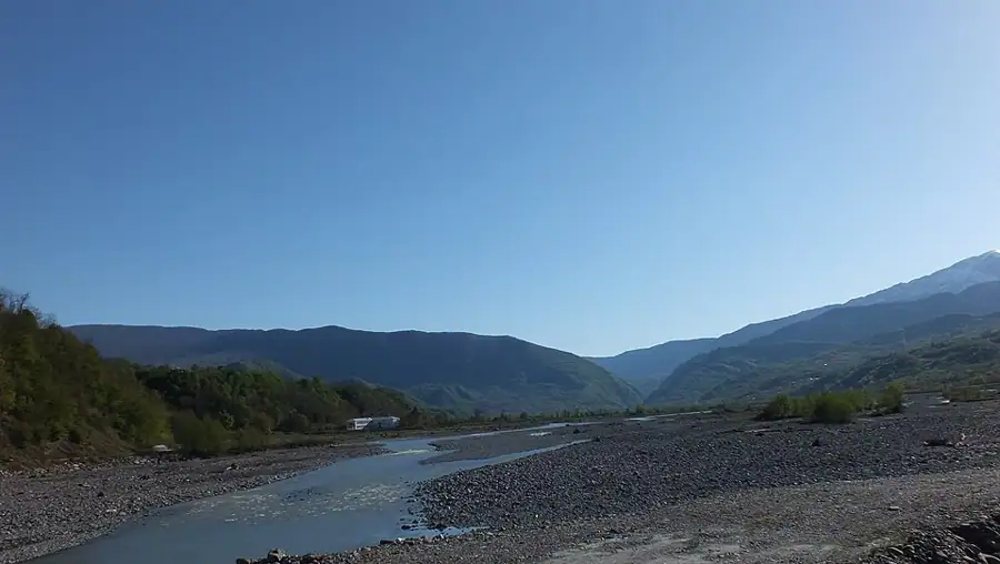
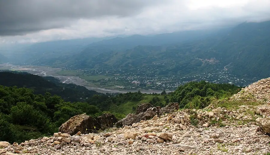
Muri is the fortress that was never taken. It stands on a sheer cliff above Tsageri at about 670 metres, watching the Tskhenistskali valley in both directions. That position made it the political and economic centre of Lechkhumi — the historical provinces of Skvimnia and Takveri — for centuries.
The complex runs east to west in three parts, and tradition gives each of them a name in the imperative: "strike hard", "meet them well" and "let none through". The first is a small watchtower, the initial checkpoint on the way up; the main building stands higher, and beside the western tower are the remains of a monastery.
The fortress was besieged repeatedly, including during Ottoman raids, and it held every time. The reason is prosaic: the rock was unclimbable and the garrison had both water and stores.
In 2018 a stepped and lit path was built up the cliff face, and the ascent has been far easier ever since — before that it was a genuine scramble. From the top the Tskhenistskali valley runs away into the distance, the roofs of Tsageri sit directly below, and the villages of Lower Svaneti show to the north.
Throughout the Middle Ages Lechkhumi was contested ground, claimed in turn by the Dadiani of Samegrelo and the kings of Imereti, and Muri was the knot: holding it meant holding the valley. When the administrative centre moved down to Tsageri in 1867 the fortress lost its purpose and emptied — the modern town below is Muri's direct successor. Traces of the water storage system are still visible within the walls, and that was the thing that mattered most under siege.
In spring and autumn, with the leaves thin, the masonry reads much more clearly; by midsummer vegetation covers a good deal of the walls. After dark the lit fortress is visible from the town.
Practical advice
An hour and a half is enough, including the climb. The path has steps but is steep, so take it slowly with heart or knee trouble; there is no handrail the whole way. In wet weather the stone treads are slippery. Carry water, since nothing is sold above. The walls are unstable and climbing on them is a bad idea. There are ticks in the long grass, so wear long trousers in summer. Toilets, a cafe and a shop are in Tsageri, five minutes from the foot of the path.
How to get there from Tbilisi
The fortress is directly above Tsageri and is reached on foot from the town. From Tbilisi take the E60 to Kutaisi, then head north via Tskaltubo and Alpana to Tsageri — 326 km, about five hours. The road is asphalt throughout; the stretch between Alpana and Tsageri is narrow and follows the Tskhenistskali closely. Leave the car in the centre of Tsageri and follow the signed path. Fuel at Kutaisi and Tsageri. An economy car is entirely sufficient.
Click a marker for details. Coloured lines are ready-made road trips.
Nearby places
 Town
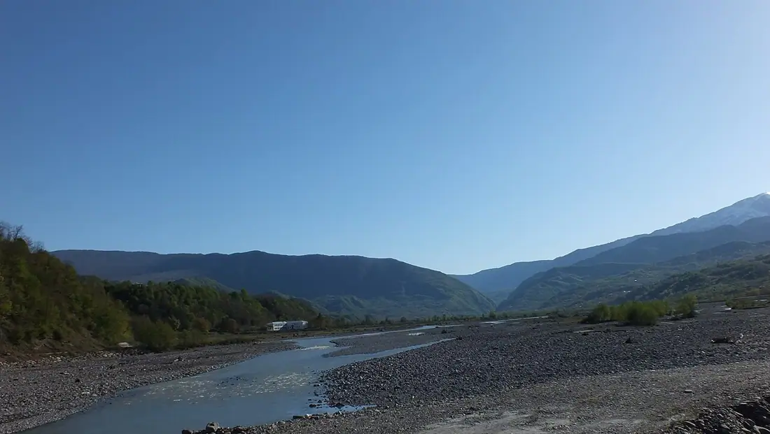
TownTsageri and Lechkhumi
The centre of Lechkhumi in the Tskhenistskali valley — wine country, fortresses and the Lajanuri reservoir.
 Town
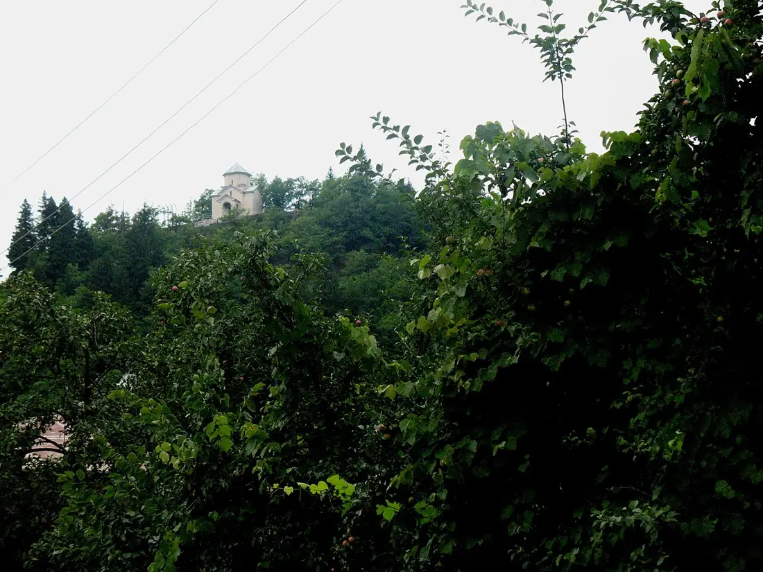
TownLentekhi
The centre of Lower Svaneti in the Tskhenistskali valley — green, heavily wooded and almost untouched by tourism.
 Mountain
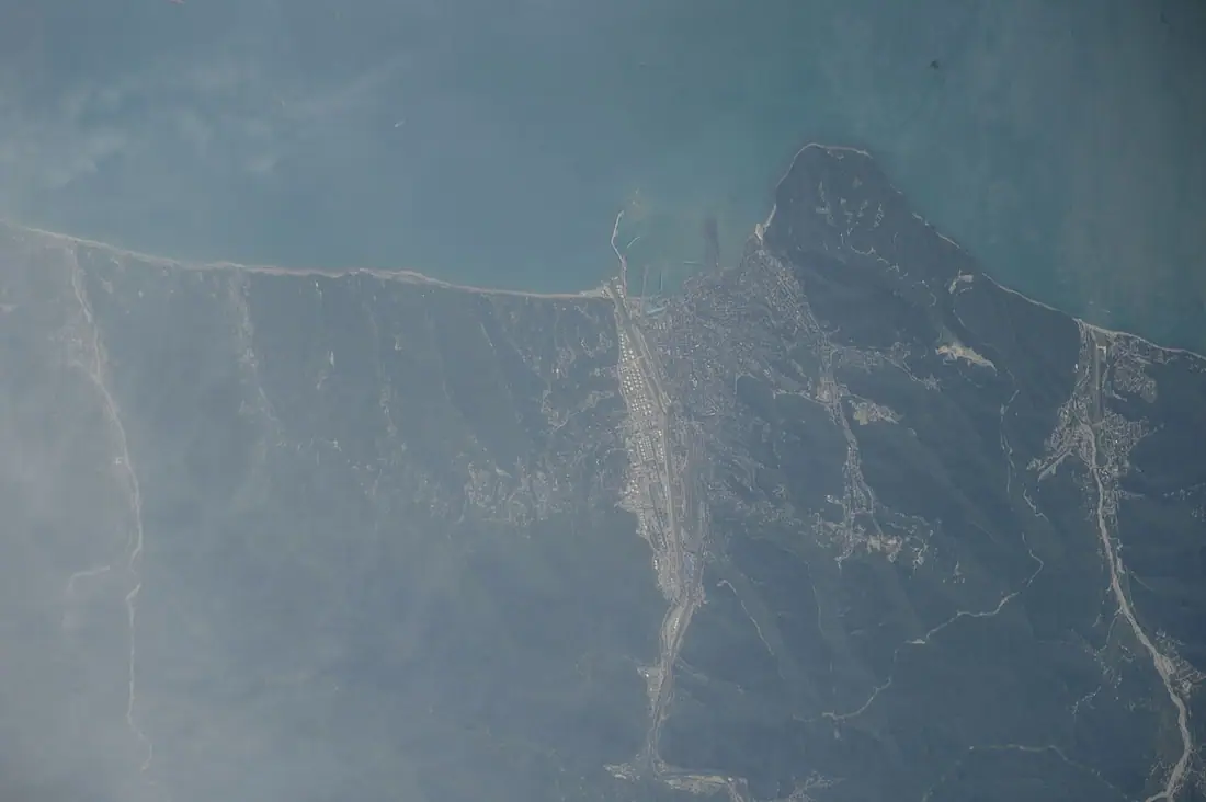
Khvamli Massif
A limestone massif of just over 2,000 metres between Lechkhumi and Imereti — flat-topped, cave-riddled and wrapped in a treasure legend.
Booking and enquiries
This site is informational — there is no online payment. Call or email us to book.