Khvamli Massif
A limestone massif of just over 2,000 metres between Lechkhumi and Imereti — flat-topped, cave-riddled and wrapped in a treasure legend.
- Time needed
- 3 h
- From Tbilisi
- 280 km · 4:40
- Road
- Mostly paved
- Car needed
- Crossover / SUV
- Season
- May–October
- Entry
- free
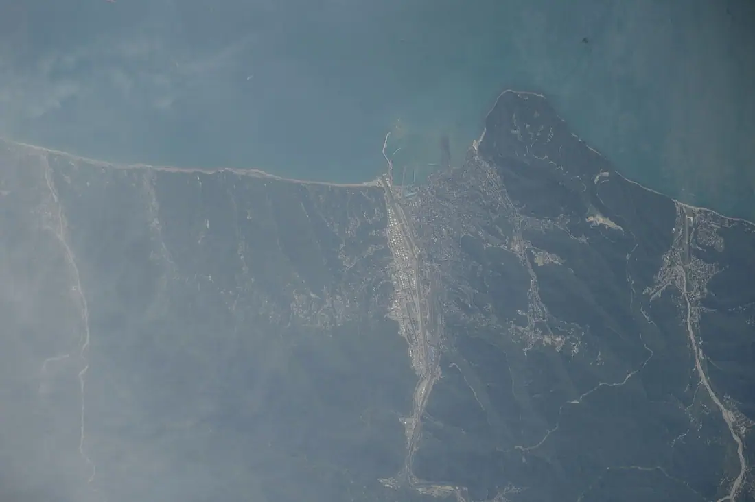
Khvamli is recognisable from a great distance: a flat massif that looks cut off with a knife, its southern side falling in a wall some three hundred metres high. This is Cretaceous limestone, straddling the boundary of Tsageri and Tskaltubo municipalities, and it reaches 2,001 metres. Its profile is visible across the whole of lower Lechkhumi and out over the Imereti plain.
The form itself is worth understanding: Khvamli is a double cuesta — the limestone beds dip gently from one side and break off in a wall on the other, which is exactly what gives the massif its sliced silhouette. It also acts as a watershed between two valleys. In summer there are temporary shepherds' camps on the plateau, and they keep water in cisterns or carry it up, for precisely the reason you will need to carry your own.
Khvamli sits deep in the Georgian imagination. A 14th-century chronicle describes the royal treasury hidden here and names some of it — a famous chain of diamonds, a jewel cut in the shape of an anvil, a great pearl. A second tradition puts Amirani on this mountain, the Georgian counterpart of Prometheus, chained and tormented by a raven; Jules Verne borrowed the association for a novel. A third explains the Verdzistava spring, which stops and starts, by an immortal dragon living in the caves.
The caves are real enough. The most important of them, Tekenteri, lies at about 1,400 metres, and the way in is through the hollow trunk of a large beech tree. Sinkholes pit the plateau everywhere, and the system has never been fully surveyed.
The climb is easier than the mountain's face suggests. An asphalt road from Okureshi takes a car to almost 1,700 metres; from there it is two kilometres on foot and roughly 500 metres of ascent. The top is a near-level plateau, cropped short by sheep. On a clear day the Racha range and the Greater Caucasus stand to the east, and the Kolkheti lowland spreads out to the south.
Gallery
Practical advice
Allow about two hours up and down from the parking area, three with a stop at the top. Carry water — the plateau is limestone and has no springs. Fog comes down quickly here and a flat summit is a bad place to lose your bearings, so do not start the walk in cloud. The grass is often wet and proper footwear makes a difference. There are no toilets and no food; the nearest are in Tsageri and Okureshi. In March and April there is still snow on top.
How to get there from Tbilisi
From Tbilisi take the E60 to Kutaisi, then head north through Tskaltubo on the Tsageri road and turn off at Okureshi — 280 km, about four hours forty. The road above Okureshi is asphalt but reaches gradients of around twenty per cent in places; in dry weather an ordinary car manages it, in the wet more clearance and decent tyres are worth having. Leave the car at the upper parking area. Fuel at Kutaisi and Tsageri.
Click a marker for details. Coloured lines are ready-made road trips.
Nearby places
 Town
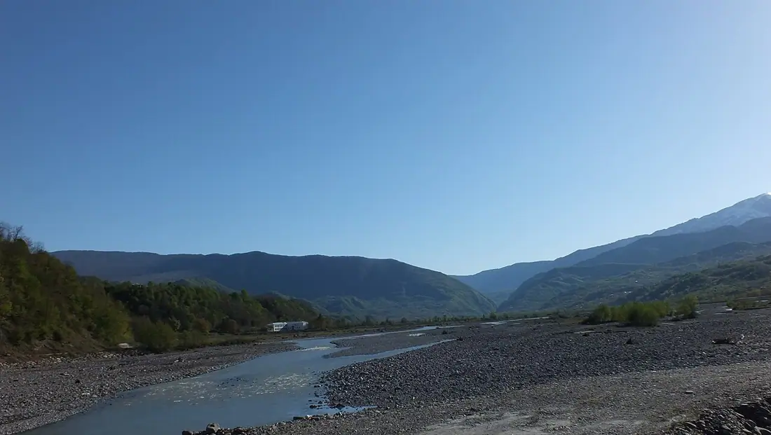
TownTsageri and Lechkhumi
The centre of Lechkhumi in the Tskhenistskali valley — wine country, fortresses and the Lajanuri reservoir.
 Fortress
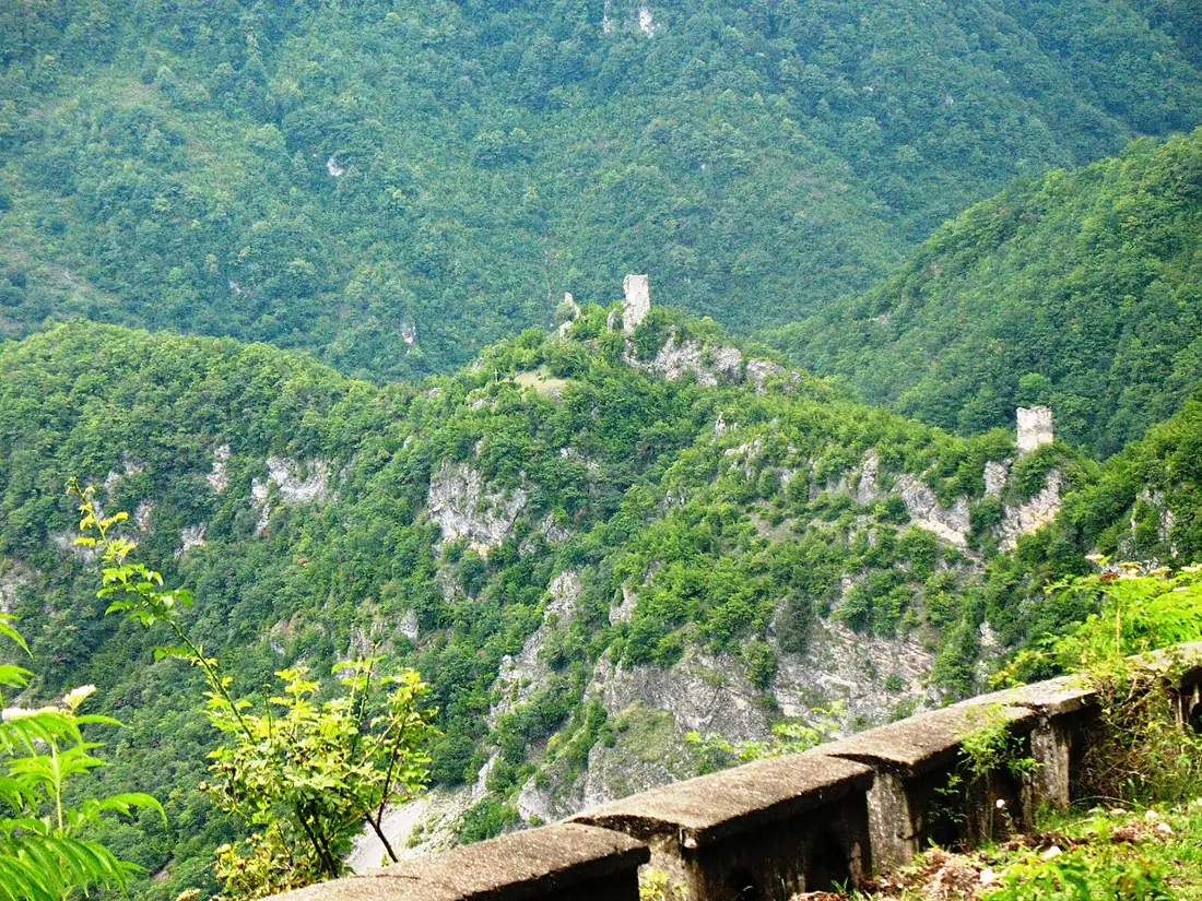
Muri Fortress
A Lechkhumi stronghold on the cliff above Tsageri — three towers with names that read like orders, and the whole valley below.
 Spa resort
Tskaltubo
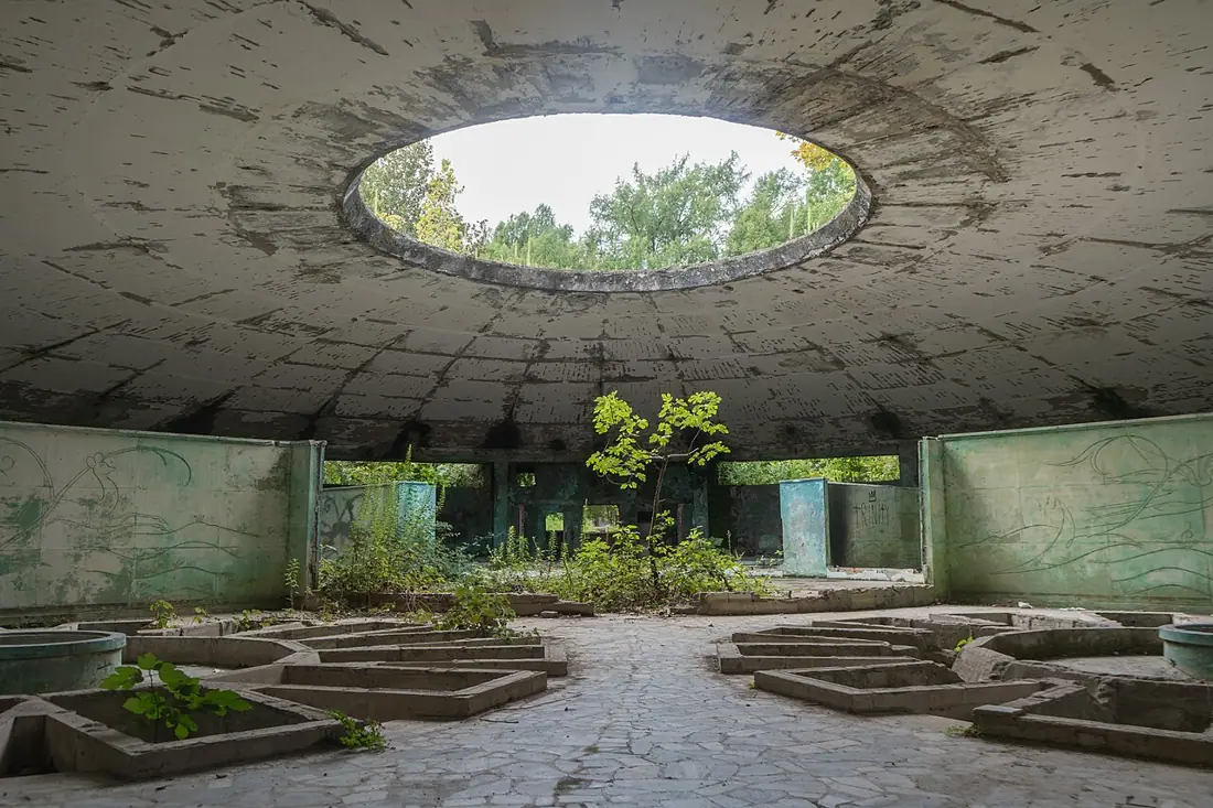
A model Soviet spa town with working bathhouses and two dozen abandoned sanatoriums standing open in the trees.
Booking and enquiries
This site is informational — there is no online payment. Call or email us to book.