Lentekhi
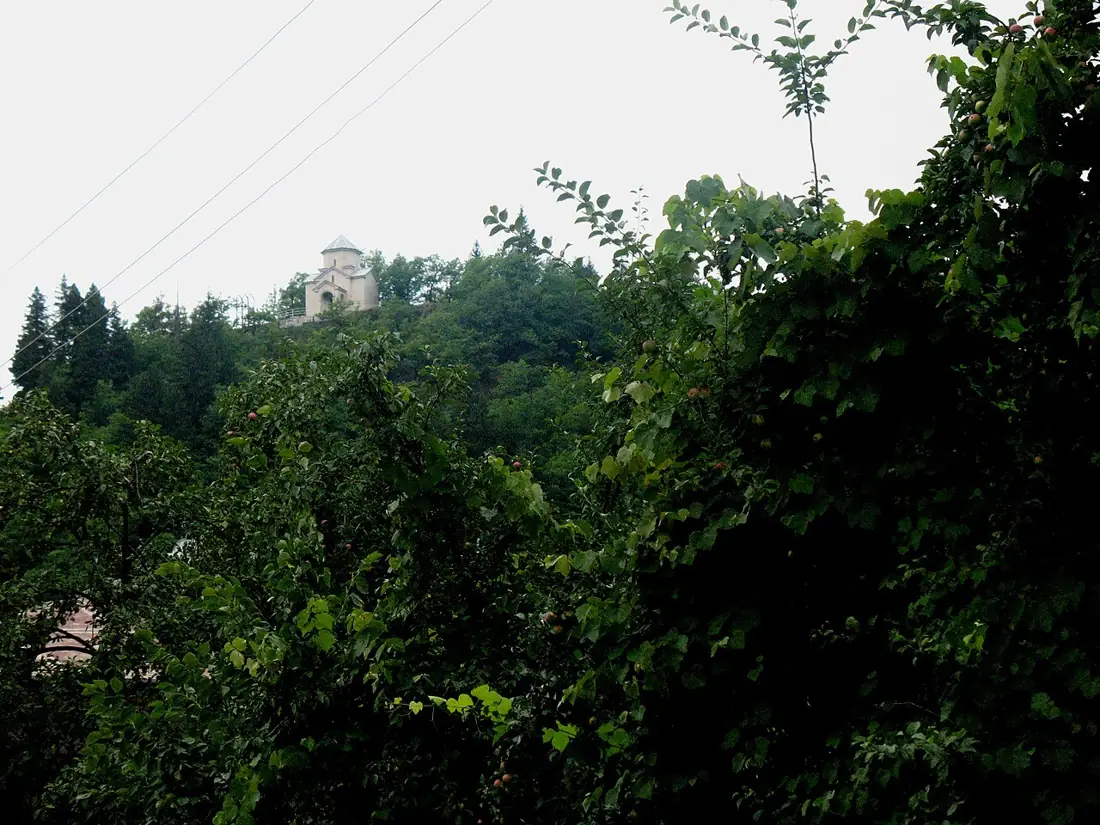
The centre of Lower Svaneti in the Tskhenistskali valley — green, heavily wooded and almost untouched by tourism.
- Time needed
- 2 h
- From Tbilisi
- 367 km · 6:10
- Road
- Mostly paved
- Car needed
- Crossover / SUV
- Season
- May–October
- Entry
- free
Lentekhi is the centre of Lower Svaneti and one of the least visited municipal towns in Georgia. It stands in the valley of the Tskhenistskali at about 760 metres, with a population of roughly fifteen hundred.
Anyone who knows Upper Svaneti will find something different here. Lentekhi and the villages around it lie far lower than Mestia, the climate is milder and much wetter, and the valley is filled with forest — beech, hornbeam, alder. There are towers, but fewer and scattered: at Kheledi, Chikhareshi and Mele, some of them half collapsed. This is not the postcard of Ushguli but a quieter, unrestored version of the same architecture.
Historically Lower Svaneti fell under the influence of the Dadiani and later the Dadeshkeliani, and it always stood apart both from Upper Svaneti and from Lechkhumi. The language spoken is still Svan, in the Lentekhi dialect.
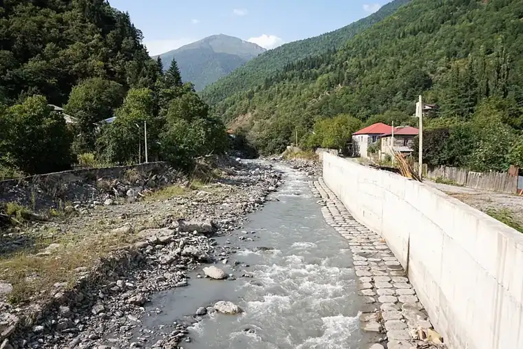
In the town itself there is little to see: a central square, a small museum, Soviet buildings and a bridge over the Tskhenistskali. The value lies in what surrounds it. Eastwards the valley narrows and climbs through Tsana and Zeskho towards the Zagari pass, the summer crossing into Ushguli. That road is for four-wheel drive only and only from July to September.
Tourist infrastructure is minimal: a few guesthouses, a couple of shops, an ATM. In exchange there are no crowds anywhere, which across the Caucasus has become a rare commodity.
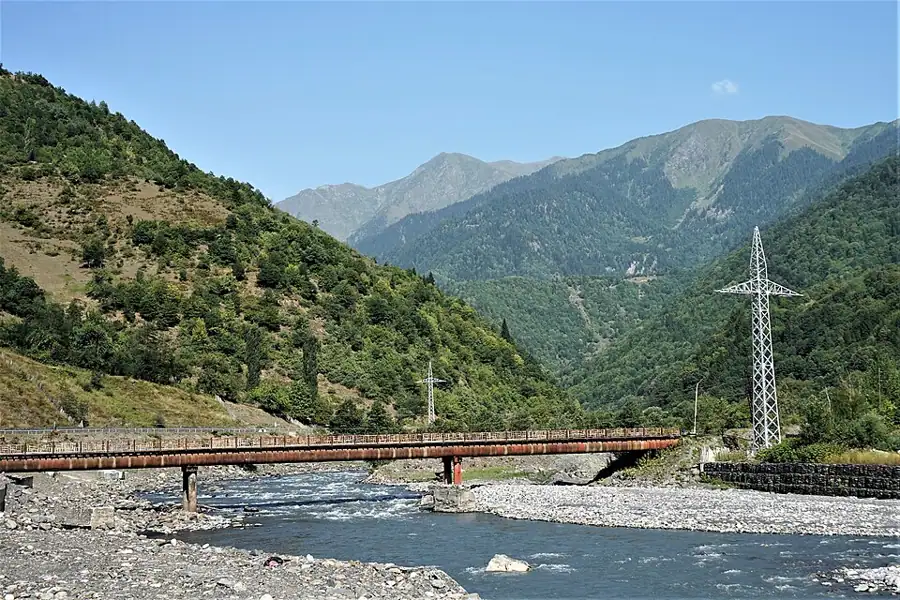
The name of the valley, Tskhenistskali, means literally "horse water", and the river governs everything here: it rises below the Zagari, runs past Lentekhi and joins the Rioni near Tsageri. Unlike Lechkhumi downstream there is almost no vine — it is simply too wet. What there is instead is honey, vegetables and what the forest gives. The population of the municipality has fallen several times over in the last thirty years, and many of its villages come alive only in the summer months, when families drive up from Tbilisi.
Practical advice
Two hours covers the town; it is worth staying a night in order to go further up the valley or out to the tower villages. This is the last ATM — there is nothing at all in the direction of Zeskho. Food is simple and limited, and vegetarian options need arranging in advance. The weather is wet: rain is frequent even in summer, so a waterproof jacket earns its place. Before attempting the Zagari pass, check conditions locally; the road is often shut until July.
How to get there from Tbilisi
From Tbilisi take the E60 to Kutaisi, then head north via Tskaltubo, Alpana and Tsageri — 367 km, about six hours. The road is asphalt as far as Tsageri; the remaining fifty kilometres to Lentekhi follow the Tskhenistskali through a narrow gorge, with a broken surface in places and stretches subject to rockfall. A crossover or SUV is more comfortable, though an ordinary car gets through in good weather. Fuel at Kutaisi and Tsageri.
Click a marker for details. Coloured lines are ready-made road trips.
Nearby places
 Town
TownTsageri and Lechkhumi
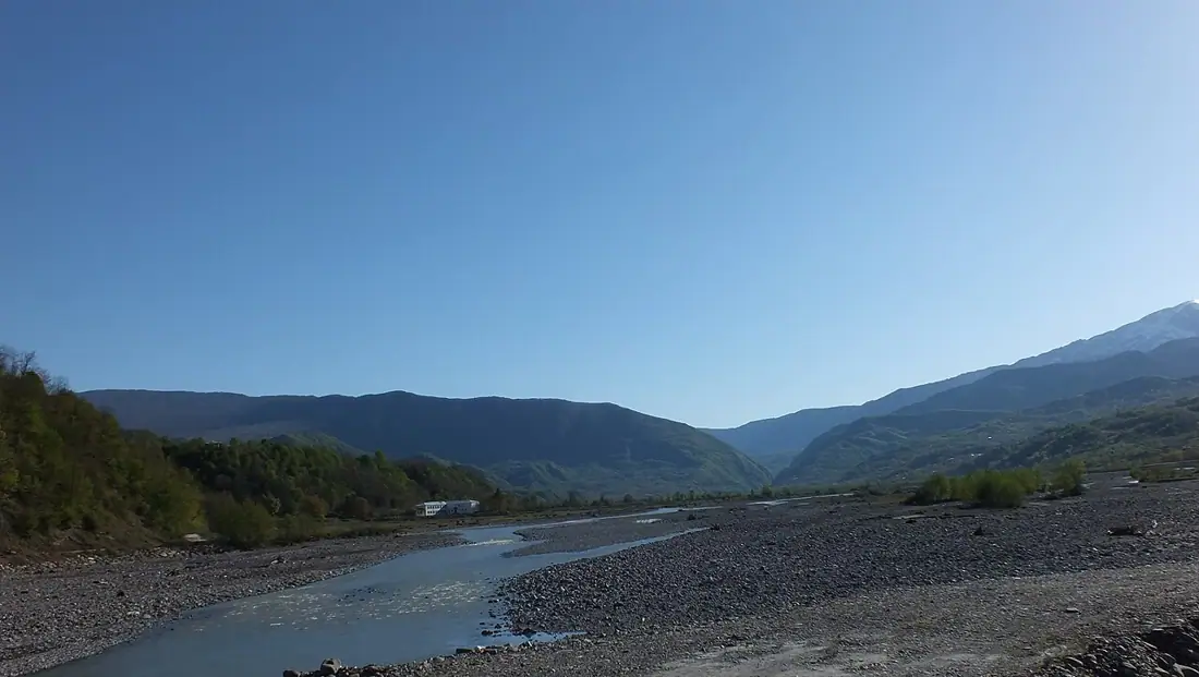
The centre of Lechkhumi in the Tskhenistskali valley — wine country, fortresses and the Lajanuri reservoir.
 Fortress
Muri Fortress
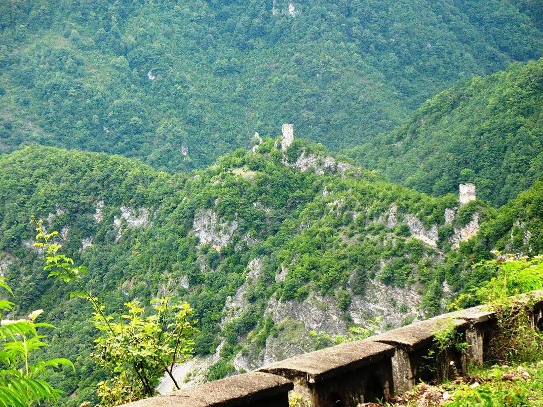
A Lechkhumi stronghold on the cliff above Tsageri — three towers with names that read like orders, and the whole valley below.
 Mountain
Khvamli Massif
A limestone massif of just over 2,000 metres between Lechkhumi and Imereti — flat-topped, cave-riddled and wrapped in a treasure legend.
Booking and enquiries
This site is informational — there is no online payment. Call or email us to book.