Kintrishi Protected Areas
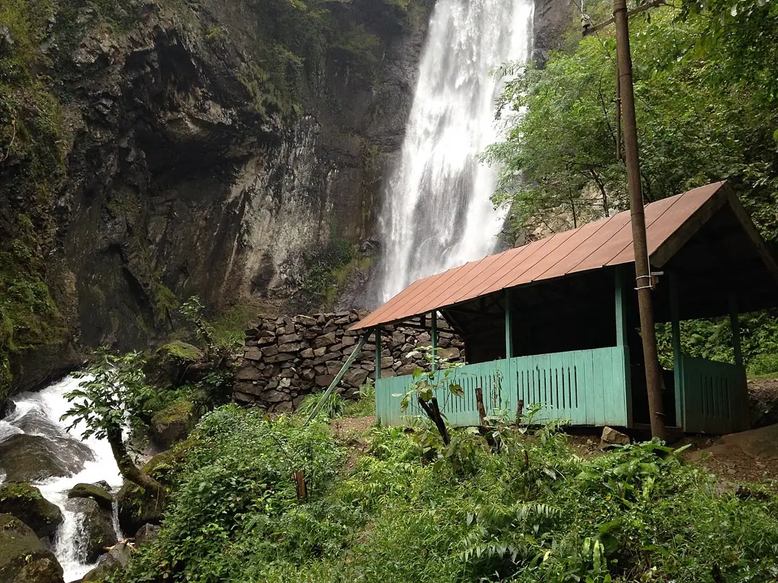
A valley of relict forest above Kobuleti, with a medieval church and a glacial lake high above it.
- Time needed
- 4 h
- From Tbilisi
- 375 km · 5:50
- Road
- Unpaved sections
- Car needed
- Crossover / SUV
- Season
- May–October
- Entry
- free
Kintrishi was designated in 1959 and is one of Georgia's oldest protected areas. It begins east of Kobuleti, follows the Kintrishi river valley, and covers roughly thirteen thousand hectares, from around two hundred metres above sea level to nearly two and a half thousand. The value here is botanical. The Kintrishi forest is Colchic relict woodland: a surviving fragment of Tertiary vegetation that the Caucasus range sheltered through the glaciations. That is why a single slope can carry chestnut, beech, yew, rhododendron and Colchic ivy together — a combination that exists nowhere else in Europe. Three things in the valley deserve a stop of their own: - Khino church, a small medieval basilica in the village of Khino, one of the few surviving Christian monuments in Adjara - Lake Tbikeli, a glacial lake at about two thousand metres, reached on foot or on horseback from Khino — three to four hours each way - Arched bridges in the lower valley, of the same type as those on the Adjaristsqali Infrastructure is minimal: waymarking is patchy, some paths are washed out, and visitor services are thin. This is not a park you drop into for a two-hour stroll. Either give it a full day or leave it for another trip. In exchange, compared with the other protected areas in Adjara, there is almost nobody here.
Practical advice
Allow a full day. The climb to Tbikeli is a serious hike and not worth attempting without a local guide, as the path is poorly marked. The lower valley alone fits into half a day. Ticks and nettles are common, so long trousers matter. Rain is frequent — carry a waterproof even in summer. Accommodation and food are in Kobuleti only; there are no shops in the valley.
How to get there from Tbilisi
From Kobuleti head east into the Kintrishi valley through Tsikhisdziri and Khutsubani — 375 km from Tbilisi in total, about five hours fifty. Take the E60 to Samtredia, the coast road to Kobuleti, then some thirty kilometres inland. The first half is asphalt, after which it becomes gravel with deep potholes and a few fords. Good clearance is necessary and four-wheel drive is advisable after rain. Fuel is available in Kobuleti and nowhere in the valley.
Click a marker for details. Coloured lines are ready-made road trips.
Nearby places
 Beach
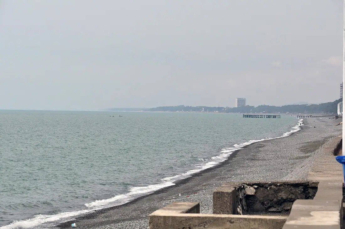
BeachKobuleti Beach and Protected Areas
A quieter resort town north of Batumi — a long pebble beach and a rare peat bog reserve.
 Nature
Mtirala National Park
Colchic rainforest behind Batumi — one of the wettest places in Europe, with trails, a waterfall and a zipline.
 Fortress
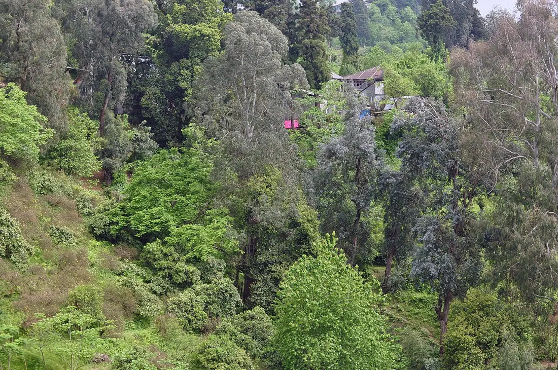
Petra Fortress, Tsikhisdziri
Byzantine fortress ruins on a rocky headland above the sea, between Kobuleti and Batumi.
 Waterfall
Makhuntseti Waterfall and Arched Bridge
A thirty-metre waterfall and a medieval stone arch bridge in the Adjaristsqali valley, an hour from Batumi.