Makhuntseti Waterfall and Arched Bridge
A thirty-metre waterfall and a medieval stone arch bridge in the Adjaristsqali valley, an hour from Batumi.
- Time needed
- 2 h
- From Tbilisi
- 395 km · 6:00
- Road
- Paved
- Car needed
- Economy class
- Season
- All year
- Entry
- free
Makhuntseti lies in the Adjaristsqali valley about 30 kilometres from Batumi and combines two sights that stand only a few hundred metres apart.
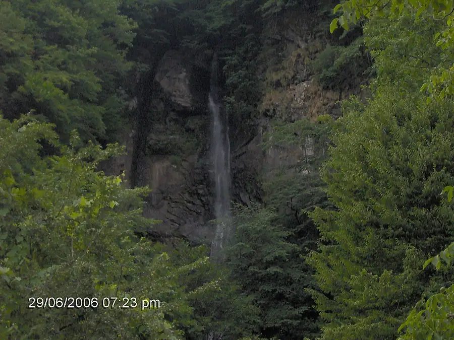
The first is the waterfall: a drop of roughly thirty metres from the cliff into a natural pool, reached by a five-minute walk from the parking area. It runs all year, but its volume varies sharply. In spring and after heavy rain it is genuinely impressive; during a dry spell in August it thins out noticeably.
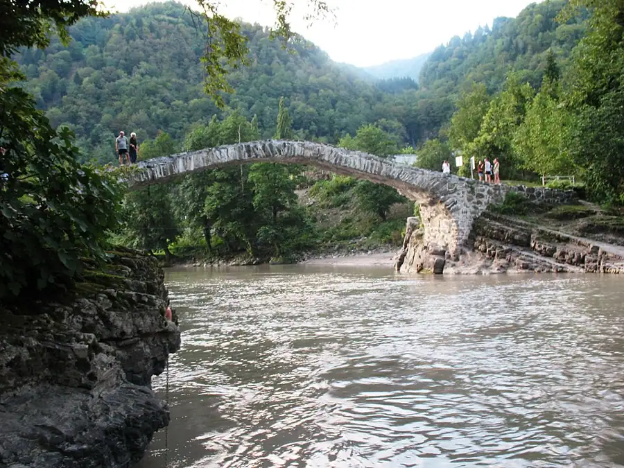
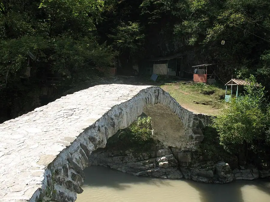
The second is the arched bridge, traditionally attributed to the era of Queen Tamar and dated to the medieval period. This single-span stone bridge crosses a tributary of the Adjaristsqali and is the best known of the several dozen similar bridges surviving across Adjara. You can walk across it.
The surrounding infrastructure is well developed: restaurants serving Adjaran food, wine and chacha tastings, a zipline and small shops. This is the most popular half-day trip out of Batumi, and it often continues eastward toward Khulo and Upper Adjara, which makes it a natural first stop rather than a destination in itself.
Practical advice
Morning is the best time; organised groups arrive around midday and the car park fills. The rocks by the waterfall are wet and slippery, so choose shoes with grip, and note the water is cold in any season. Carry a rain shell — showers in the valley are frequent and arrive suddenly. Restaurants generally accept cards, but small kiosks will want cash. Toilets are at the parking area and in the restaurants. Allow about ninety minutes for both the waterfall and the bridge.
How to get there from Tbilisi
It is about 395 km and six hours from Tbilisi. First drive the E60 down to Batumi, then turn east into the Adjaristsqali valley toward Khulo: Batumi to Makhuntseti is 30 km, roughly 45 minutes. The road is paved and in good condition but narrow and winding, with limited visibility on the bends; an economy car is entirely sufficient. Fill up in Batumi, as fuel stations in the valley are sparse. The turn to the waterfall is signposted and parking sits directly at the site.
Click a marker for details. Coloured lines are ready-made road trips.
Nearby places
 Nature
Mtirala National Park
Colchic rainforest behind Batumi — one of the wettest places in Europe, with trails, a waterfall and a zipline.
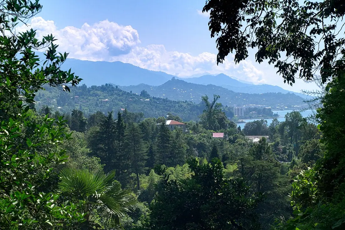 Nature
Batumi Botanical Garden
Over a hundred hectares on a cape above the sea, with nine floristic zones of the world laid out side by side.
 Fortress
Petra Fortress, Tsikhisdziri
Byzantine fortress ruins on a rocky headland above the sea, between Kobuleti and Batumi.