Chiora
The village before Ghebi in the headwaters of the Rioni — a trailhead, and the start of an old crossing towards Lower Svaneti.
- Time needed
- 2 h
- From Tbilisi
- 398 km · 7:10
- Road
- Unpaved sections
- Car needed
- Off-road 4x4
- Season
- June–September
- Entry
- free
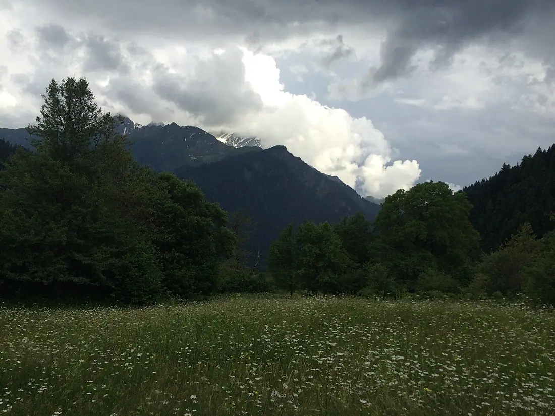
Chiora is the last village but one in the headwaters of the Rioni. It stands between Glola and Ghebi at about 1,300 metres, on the stretch where the valley narrows sharply and wooded slopes come down from both sides.
The village is small: a few dozen households, stone houses with wooden balconies, an old church and a cemetery on the slope. The permanent population is tiny and mostly elderly — the young left for Oni and Tbilisi, though many come back for the summer. The 1991 earthquake brought down a number of houses here too, and some still stand as they fell.
Chiora's importance is geographical. Trails start here: north into the alpine zone, east towards Ghebi, and west over an old pass towards Lower Svaneti in the direction of Zeskho and Lentekhi. That last is a multi-day route requiring a tent, navigation and real experience; it is not a day walk.
Above the village the view opens out. To the north stands the main ridge of the Greater Caucasus with the Buba and Chiukhi massifs; to the east, the closing section of the Ghebi valley, from where walkers set out for the Buba and Chanchakhi glaciers. Ghebi itself is about five kilometres further on.
The village is alive from June to September. From October the road goes under snow and Chiora becomes effectively isolated; getting here in winter is not something to plan around.
Chiora, Ghebi and Glola together form a distinct unit known as Mtaracha, "mountain Racha". All three villages lived by sheep, and they were closer to one another than to Oni below: their own speech, their own customs, their own summer pastures over the ridge. You can still hear it — the dialect here is noticeably different from that of Ambrolauri. The flocks go up to the alpine zone in June and come down at the end of September; if you arrive on those days you will spend some time waiting behind sheep on the road.
Practical advice
Two hours covers the village itself — what matters here is what begins after it. Arrange a bed and meals in advance: two or three families take guests and there is no shop at all. Spring water is good and drinkable, but bring your food with you. Mobile coverage comes and goes. Check the forecast before starting any walk; in these valleys rain usually arrives in the afternoon.
How to get there from Tbilisi
From Glola head north-west up the Rioni — about thirteen kilometres, thirty minutes. From Tbilisi the total is 398 km, roughly seven hours and ten minutes. Beyond Glola the asphalt ends: the road is gravel and loose stone, deeply rutted, with several stream crossings that swell after rain. High clearance and four-wheel drive are necessary, not merely advisable. Take your last fuel at Ambrolauri; the station in Oni works only intermittently.
Click a marker for details. Coloured lines are ready-made road trips.
Nearby places
 Mountain
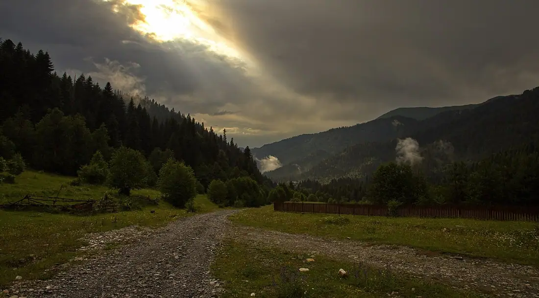
Udziro Lake and Buba Glacier (Ghebi)
The last village in Racha and the trailhead for high mountain routes — 4x4 only, and summer only.
 Mountain
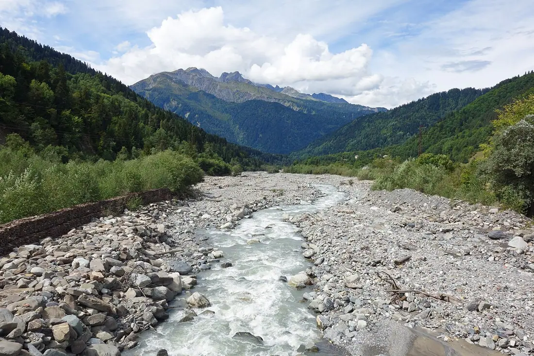
Glola
The last large village of Upper Racha, where the road splits towards Shovi in one direction and Ghebi in the other.
 Mountain
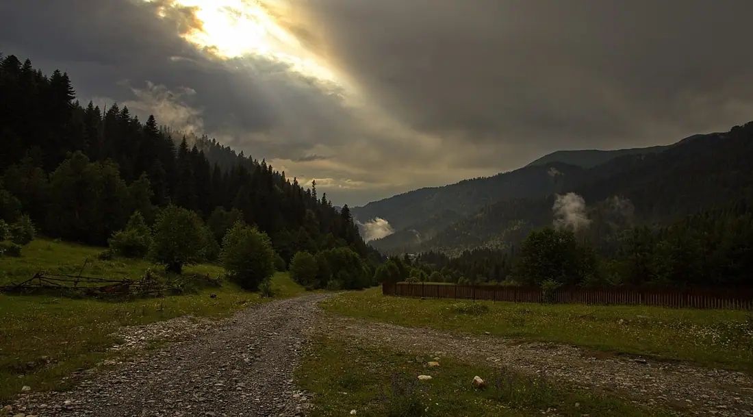
Shovi Resort
A high mountain resort above Oni in the Chanchakhi valley — strictly seasonal and partly rebuilt after the 2023 disaster.
Booking and enquiries
This site is informational — there is no online payment. Call or email us to book.