
Abudelauri Lakes
Three glacial lakes — Blue, Green and White — under the Chaukhi massif at 2,500–2,800 m, the finest day hike in Khevsureti.
- Time needed
- 6 h
- From Tbilisi
- 116 km · 2:50
- Road
- Unpaved sections
- Car needed
- Crossover / SUV
- Season
- June–September
- Entry
- free
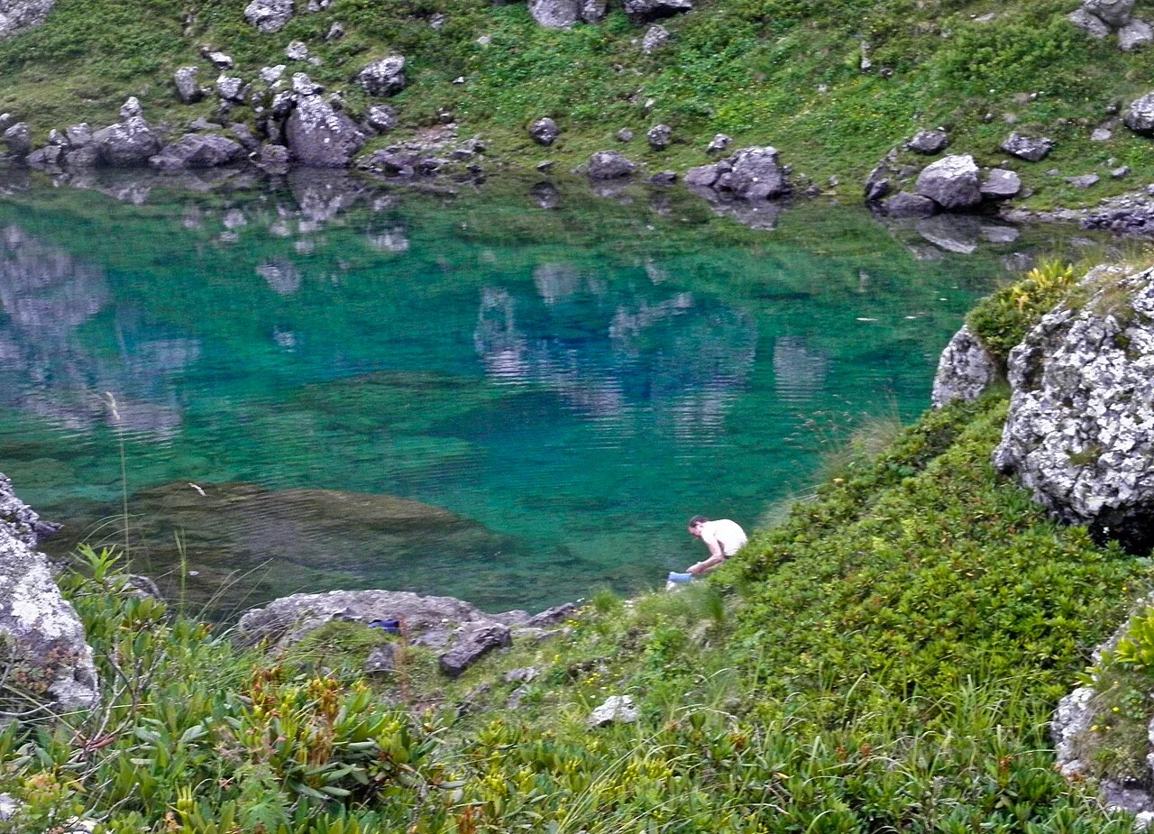
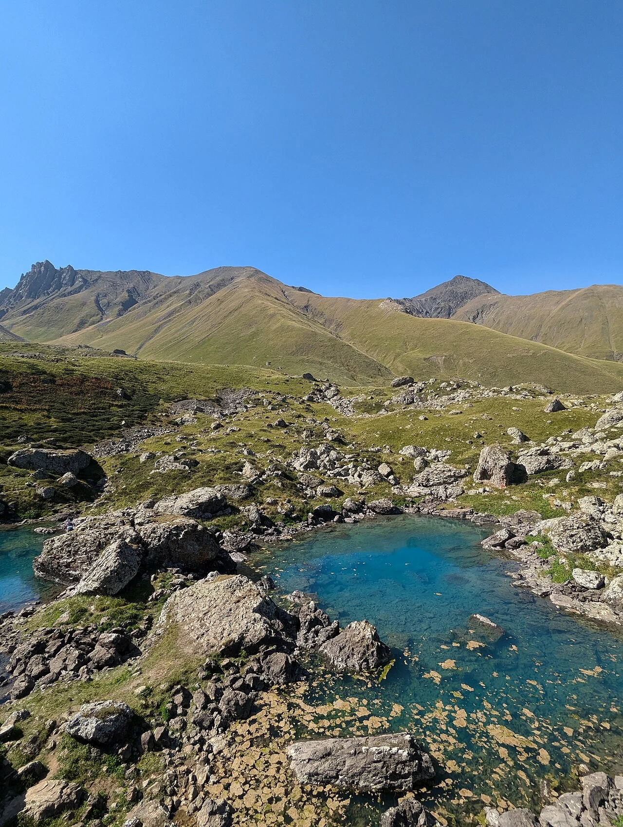
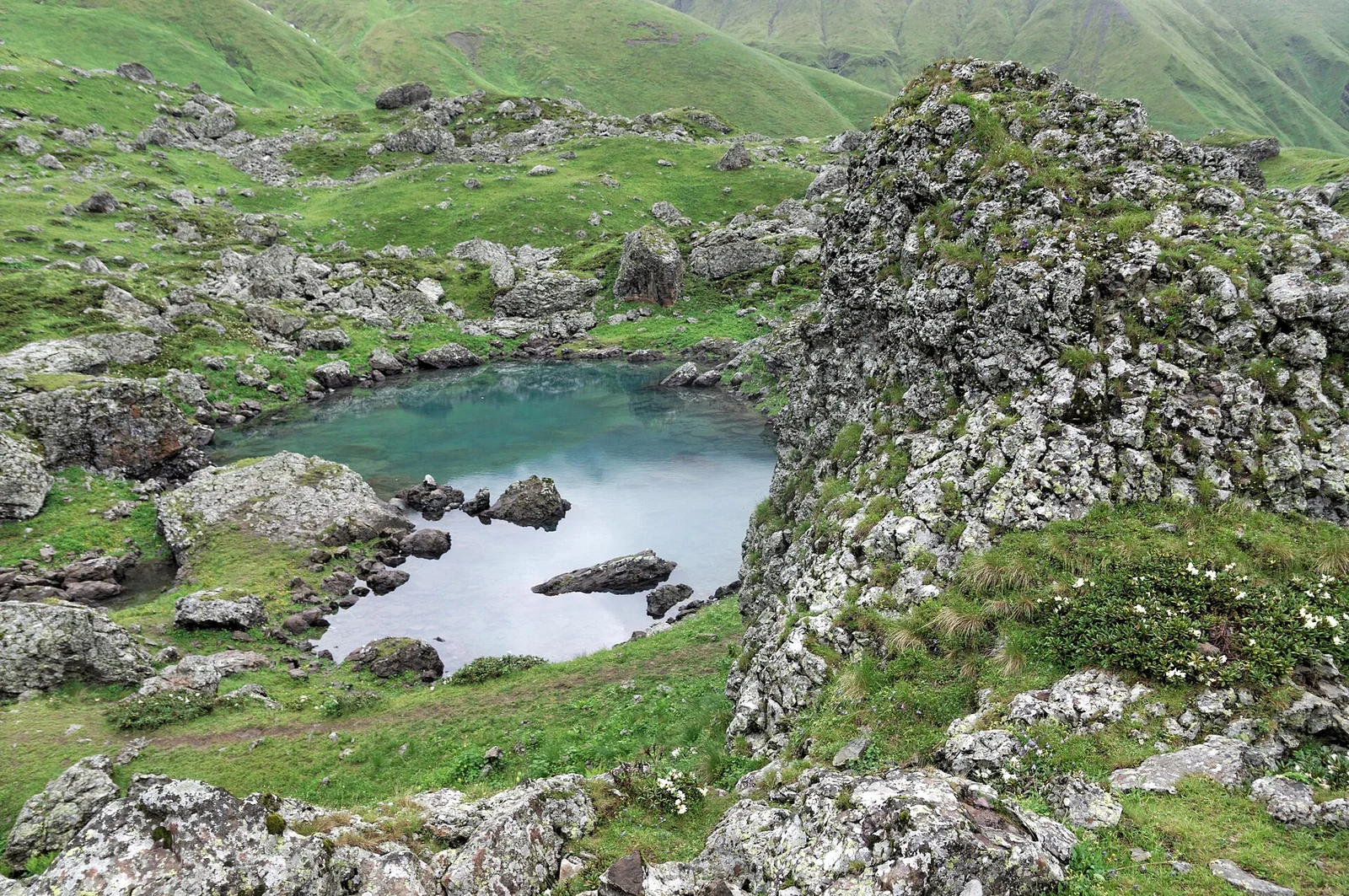
The Abudelauri lakes are Khevsureti's most celebrated natural sight. Three glacial lakes — Blue, Green and White — lie at the northern foot of the jagged Chaukhi massif at 2,500–2,800 metres. Each has its own character: in calm weather the Blue lake glows a deep turquoise and mirrors the Chaukhi towers, the Green lake hides among boulders overgrown with rhododendron, and the White lake — the highest and coldest — sits directly beneath the glacier tongue, its water a milky grey.
The trail starts in Roshka village (about 2,000 m), itself worth a stop for its giant glacial boulders and stone houses. Reaching the Blue and Green lakes takes 2–2.5 hours of steady climbing on a well-trodden path; the White lake is another 40–60 minutes over rock debris. In June the slopes are covered in wildflowers; in September the air is at its clearest and Chaukhi carries its first dusting of snow.
The lakes lie within Pshav-Khevsureti National Park. From here the trail continues over the Chaukhi Pass (3,338 m) to Juta — a hard full-day crossing for experienced hikers only. For a normal visit, the Roshka–lakes–Roshka loop fits comfortably into 5–7 hours.
Practical advice
Weather changes fast here — carry a rain shell and a warm layer even in July. Buy water and food in Roshka: nothing is sold on the trail, and the village guesthouses will cook a meal if you ask. Swimming is dangerous — the water is glacial. Morning light is best for photographs, before cloud builds on Chaukhi. There is effectively no mobile signal above Roshka, so download your maps in advance.
How to get there from Tbilisi
From Tbilisi take the Georgian Military Highway to Zhinvali, then turn right onto the Khevsureti road towards Barisakho. From Barisakho a 12 km serpentine climbs to Roshka — gravel with rocky stretches, passable in a high-clearance crossover when dry, better with a 4x4 after rain. In total about 116 km and three hours from Tbilisi. Cars stay at the end of the village; from there it is foot only. In winter the Roshka road is frequently closed.
Click a marker for details. Coloured lines are ready-made road trips.
Nearby places
 Mountain
Juta and the Chaukhi Massif
One of Georgia's highest inhabited villages at 2,150 metres, under the pale rock wall of the Chaukhi ridge.
 Fortress
Shatili
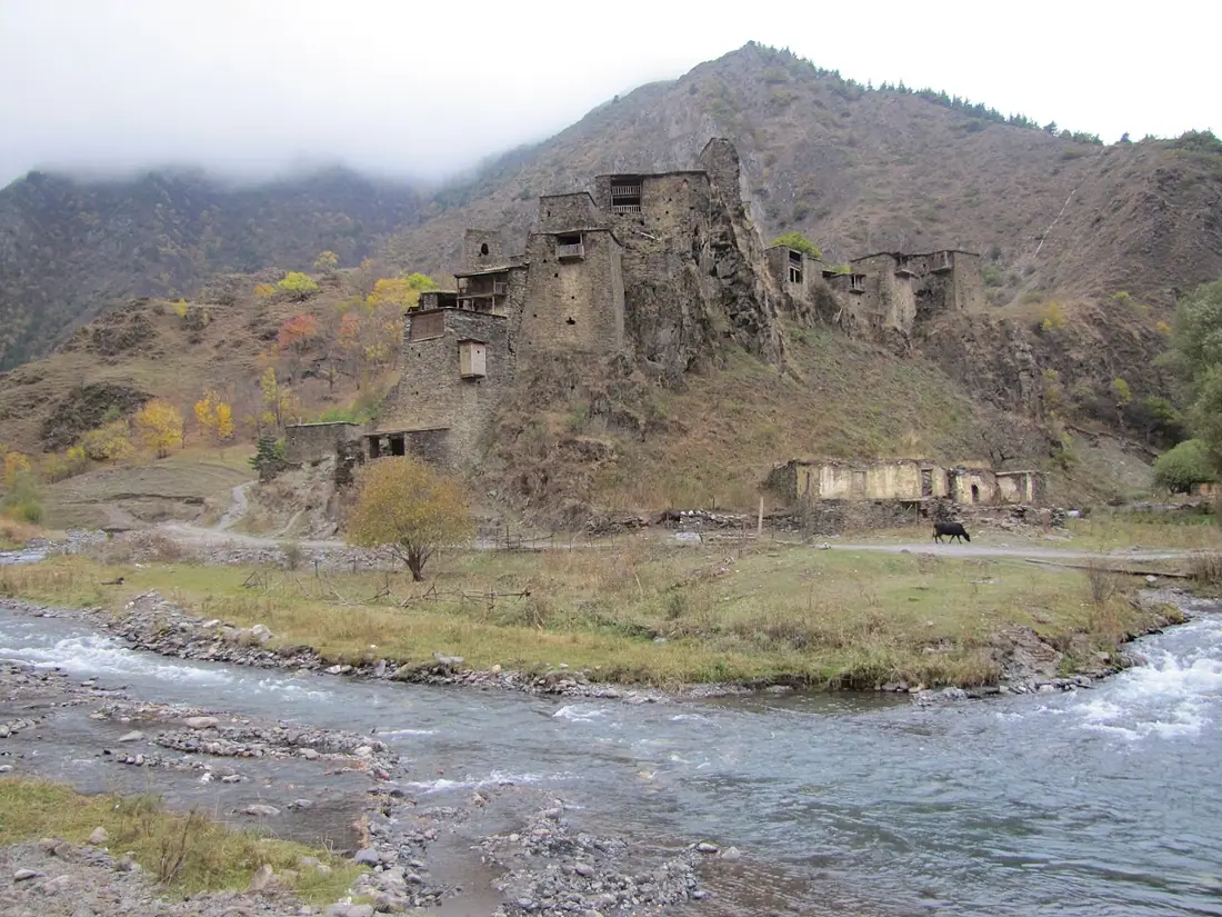
A stone fortress-village in Khevsureti on the Chechen border — one of the most striking places in the Caucasus.
 Fortress
Mutso
An abandoned Khevsur fortress village stacked on a rock spur, thirteen kilometres east of Shatili.
Booking and enquiries
Send a booking request here. An administrator confirms it after availability is checked and the required payment is completed.