
Mtirala National Park
Colchic rainforest behind Batumi — one of the wettest places in Europe, with trails, a waterfall and a zipline.
- Time needed
- 4 h
- From Tbilisi
- 385 km · 5:50
- Road
- Mostly paved
- Car needed
- Crossover / SUV
- Season
- May–October
- Entry
- free
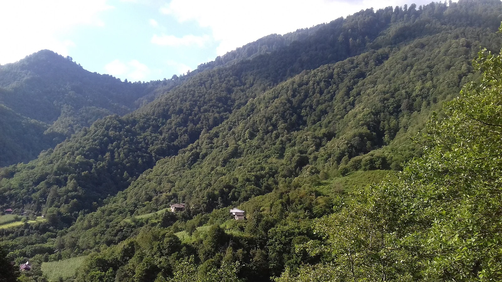
Mtirala National Park lies east of Batumi on the coastal ridge and is one of the most unusual natural areas in Georgia. The name translates literally as "the weeping one", and it is accurate: more than four thousand millimetres of rain fall here each year, which puts the park among the wettest places in Europe.
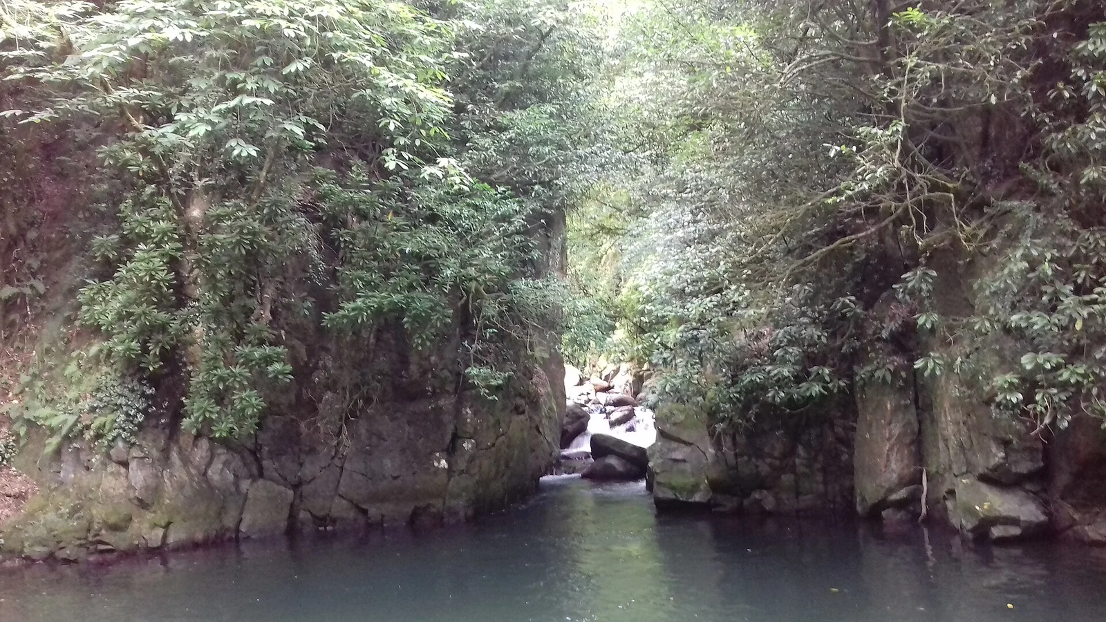
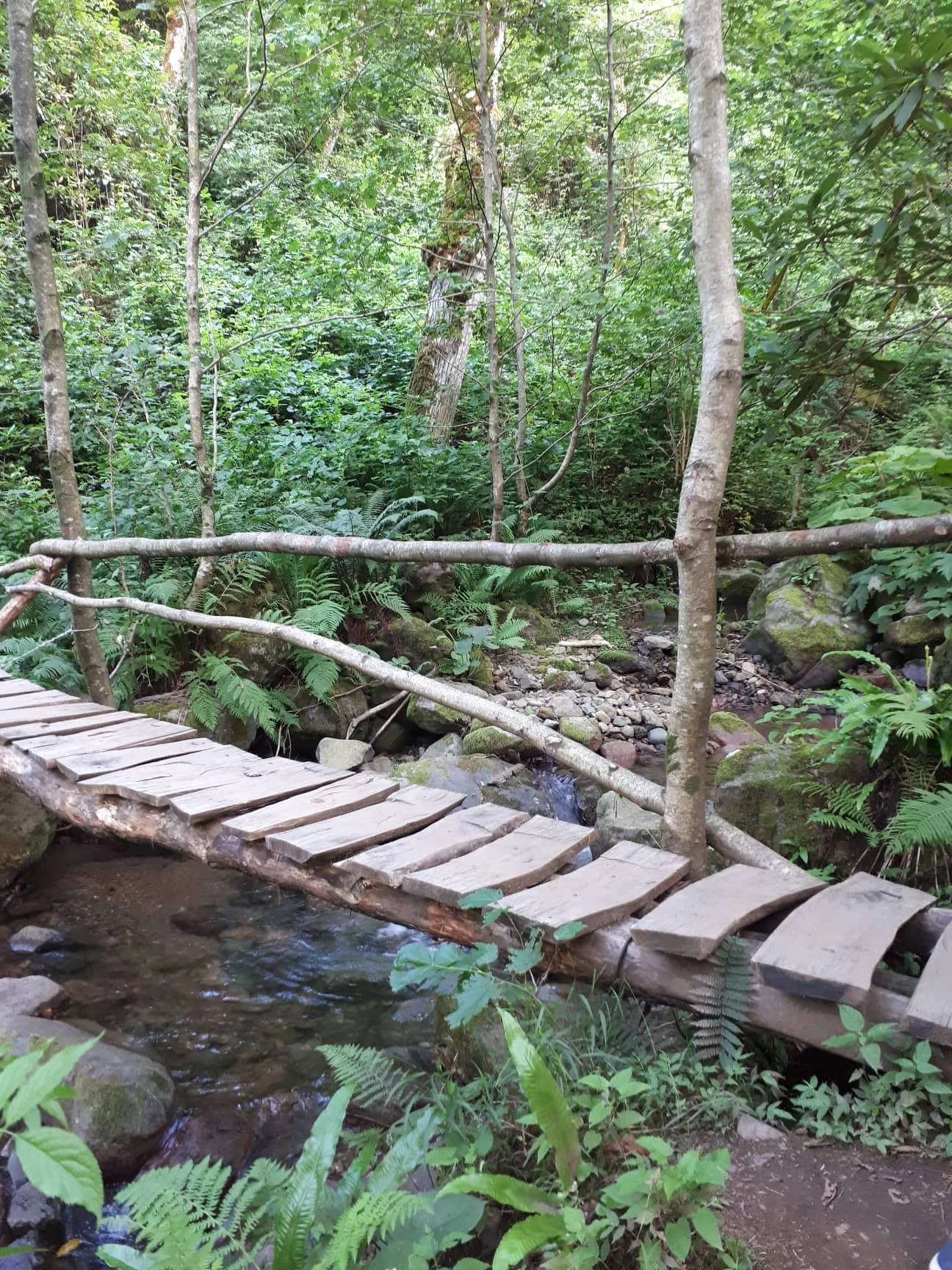
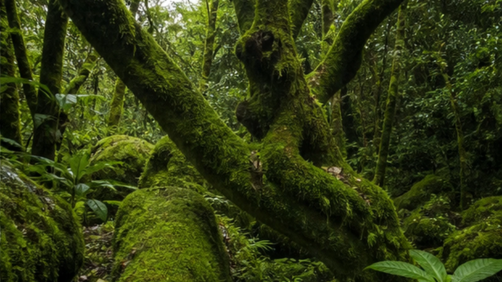
The result is Colchic relict forest — evergreen understorey, moss-covered trees, ferns and lianas. This ecosystem survives from the Tertiary period and is found almost nowhere outside western Georgia, which is why the park matters internationally rather than just locally.
What the park offers:
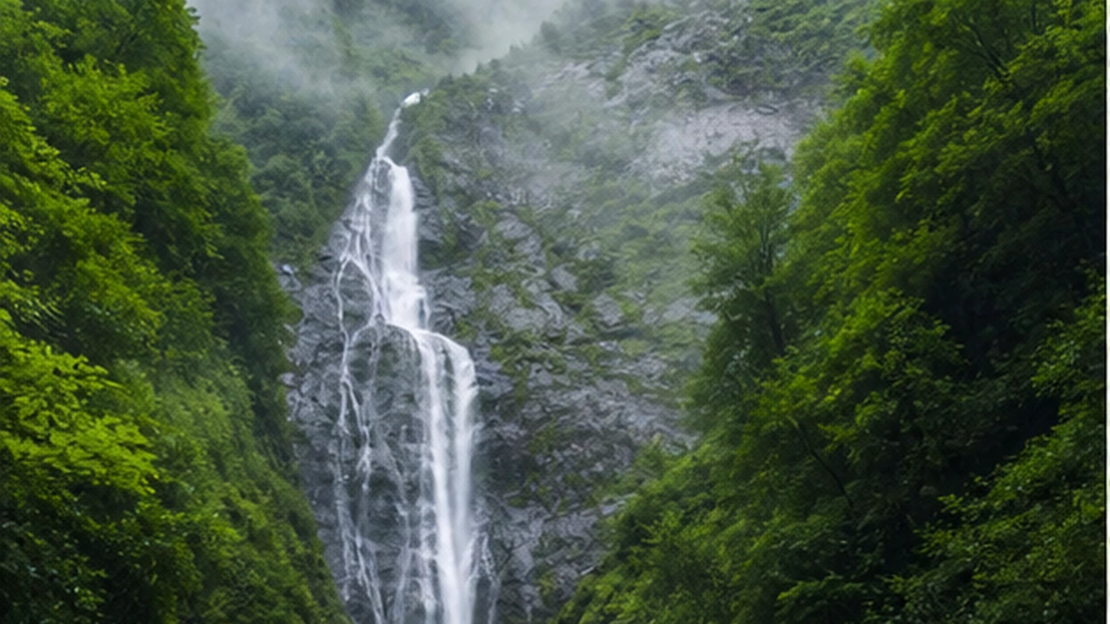
- A short trail to the waterfall — a roughly two-hour route past a small lake
- A zipline across the river near the visitor centre
- Longer ridge routes that require an overnight stay
- The visitor centre at Chakvistavi, with an information point and camping areas
The main warning concerns weather. Rain here is the norm, not the exception, and catching a dry day is genuinely a matter of luck. Choose your clothing for wet conditions rather than sun, and treat a clear afternoon as a bonus. In compensation, the forest is at its most striking in mist, and there are far fewer visitors than on the coast.
Gallery
Practical advice
A waterproof jacket and shoes with real grip are essential — the paths are clay-based and slippery almost all the time. Humidity is high in summer, so insect repellent is worth carrying. Allow three to four hours and start in the morning, since storms are more likely after midday. The visitor centre has toilets and a small cafe but no ATM, so bring cash for the zipline and any fees. Mobile coverage inside the forest is weak, so agree a meeting point if you split up.
How to get there from Tbilisi
It is about 385 km and roughly five hours fifty from Tbilisi. Take the E60 down to the coast, turn east near Chakvi and climb toward Chakvistavi: from Batumi it is 25–30 km in total, about fifty minutes. Most of the road is paved, but the final section is narrow gravel that turns slippery after rain. That is why a higher-clearance vehicle is the sensible choice here; taking a sedan up in wet weather is not worth it. Fill up in Batumi or Chakvi before turning inland.
Click a marker for details. Coloured lines are ready-made road trips.
Nearby places
Petra Fortress, Tsikhisdziri
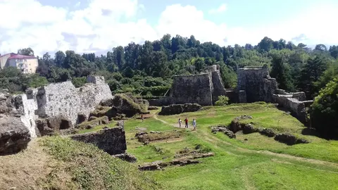
Byzantine fortress ruins on a rocky headland above the sea, between Kobuleti and Batumi.
Batumi Botanical Garden
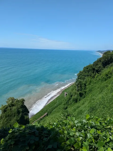
Over a hundred hectares on a cape above the sea, with nine floristic zones of the world laid out side by side.

Makhuntseti Waterfall and Arched Bridge
A thirty-metre waterfall and a medieval stone arch bridge in the Adjaristsqali valley, an hour from Batumi.
Part of these road trips
- Black Sea and Adjara 4 days · 880 km
- Adjara-Guria Green Road 5 days · 520 km
Best car for this trip
Mostly paved
Guides
- The Best Time to Visit Georgia, Counted Month by Month Georgia does not have one season. It has two countries: a 60% country from November to April and a 99% country
- Driving in Georgia: What the Distances Actually Cost You Georgia is a small country with slow roads. Here is what 267 measured drives from Tbilisi say about how long y
Pickup locations
Car Rental in Batumi — 17 km (straight line)