Shkhara Glacier and Lamaria
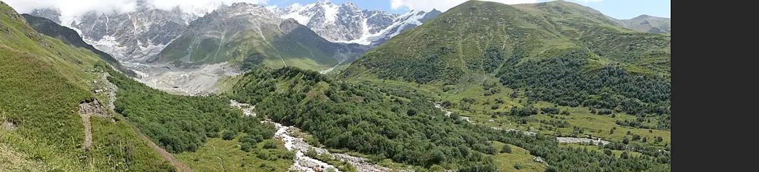
The source of the Enguri above Ushguli, below the ice wall of Shkhara, the highest summit in Georgia.
- Time needed
- 6 h
- From Tbilisi
- 515 km · 10:30
- Road
- 4x4 only
- Car needed
- Off-road 4x4
- Season
- June–September
- Entry
- free
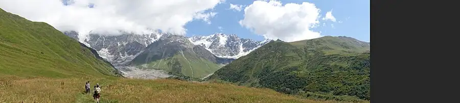
Above Ushguli a track runs to the source of the Enguri — to the place where the river you have followed all the way from Zugdidi simply comes out of the ice. It is a day walk, and the best one in Svaneti.
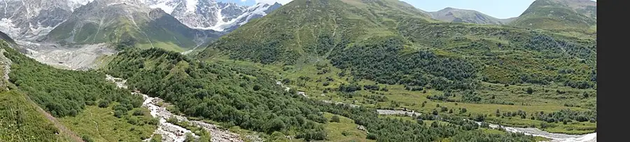
The route heads east from Ushguli along the right bank of the Enguri: about eight kilometres each way, three to four hours, and easy going, since the valley is broad and the total ascent is only two or three hundred metres. Towards the end the meadow gives way to moraine and the glacier snout appears, at roughly 2,300 metres.
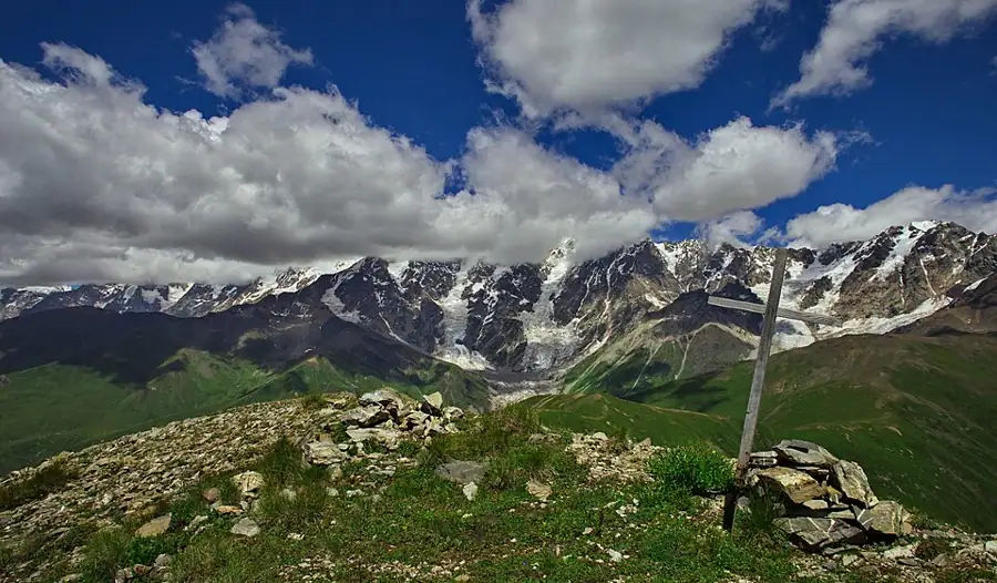
Above it stands Shkhara, 5,193 metres, the highest point in Georgia and the culminating summit of the Bezengi Wall. That wall is a twelve-kilometre rampart of ice on the Georgian–Russian border and one of the most serious objectives in Caucasian mountaineering. Seeing it from directly beneath is a different experience entirely.
On the way, in Zhibiani at the top of Ushguli, stands the Lamaria church: an eleventh- or twelfth-century hall church dedicated to the Mother of God, with its own tower, an enclosure wall and fragments of painting inside. It sits where the path begins and should not be skipped.
The glacier snout is retreating fast. It has shrunk noticeably in recent decades and the ice edge is unstable, with rockfall and collapsing arches. Walking under the tongue or onto the ice without equipment and a guide is a warning rather than a suggestion.
There is almost nothing man-made along the path: a couple of plank bridges, a shepherds' camp and a line worn across the moraine. In high summer there are cattle and horses up here.
The view back from Zhibiani towards the towers of Ushguli is as good as the view forward towards the wall, and often better on the way home, when the evening light comes from the west.
Weather is a separate matter. The valley traps cloud and afternoon rain is normal. Start early, because on a cloudy day the wall is invisible and the point of the walk disappears.
Horses can be hired in Ushguli and four-wheel drives get part of the way up, but the last stretch is on foot regardless. There is water along the valley and no food.
The season runs from mid-June to early October; in May the path still holds snow and the Enguri is in flood. Allow six hours, which in practice means a full day with a night in Ushguli.
Practical advice
Six hours, which in practice is a full day. Start early: cloud and rain in the afternoon are normal here. Solid boots, a windproof layer and something warm are all necessary, because cold air pours off the glacier. Do not walk under the snout or climb onto the ice. There is water in the valley but no food, so carry it from Ushguli. Horses can be hired in Ushguli. Sleeping in the village is the only way to make an early start realistic.
How to get there from Tbilisi
From Tbilisi take the E60 to Senaki, continue to Zugdidi, then north to Mestia and east to Ushguli — about 515 km and ten and a half hours. Asphalt runs to Mestia; the Mestia–Ushguli section is gravel, narrow and deeply rutted, with a couple of stream crossings, and four-wheel drive is genuinely necessary. Leave the car in Ushguli; the path starts at the eastern end of the village. Refuel in Mestia, since there is no station higher up and none at all in Ushguli.
Click a marker for details. Coloured lines are ready-made road trips.
Nearby places
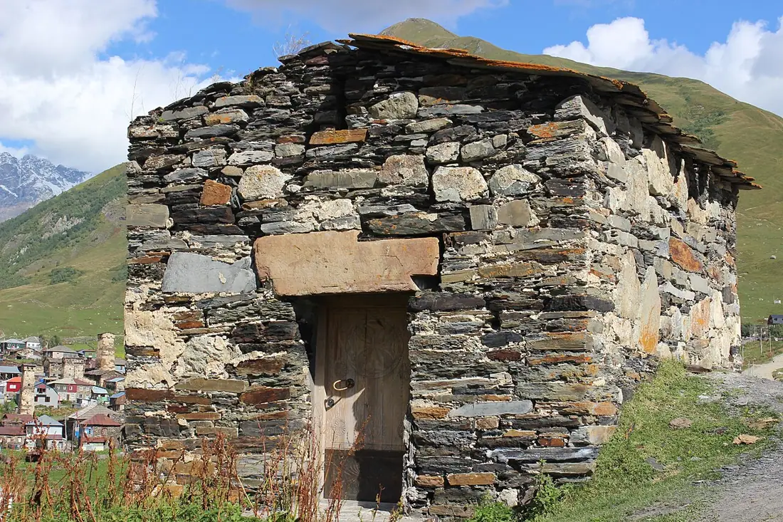 Town
TownUshguli
One of Europe's highest permanently inhabited settlements at 2,100 m, under Mount Shkhara — UNESCO-listed as part of Upper Svaneti.
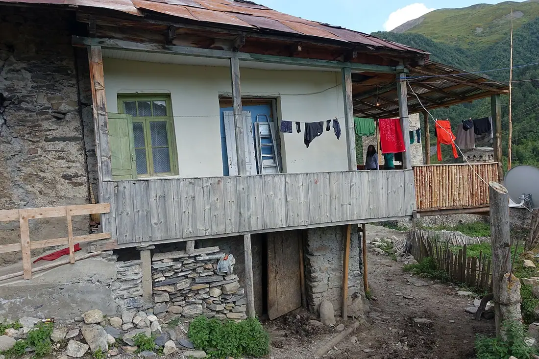 Town
TownAdishi
One of the highest permanently inhabited villages in Svaneti at 2,040 m, with towers, a glacier and very few residents.
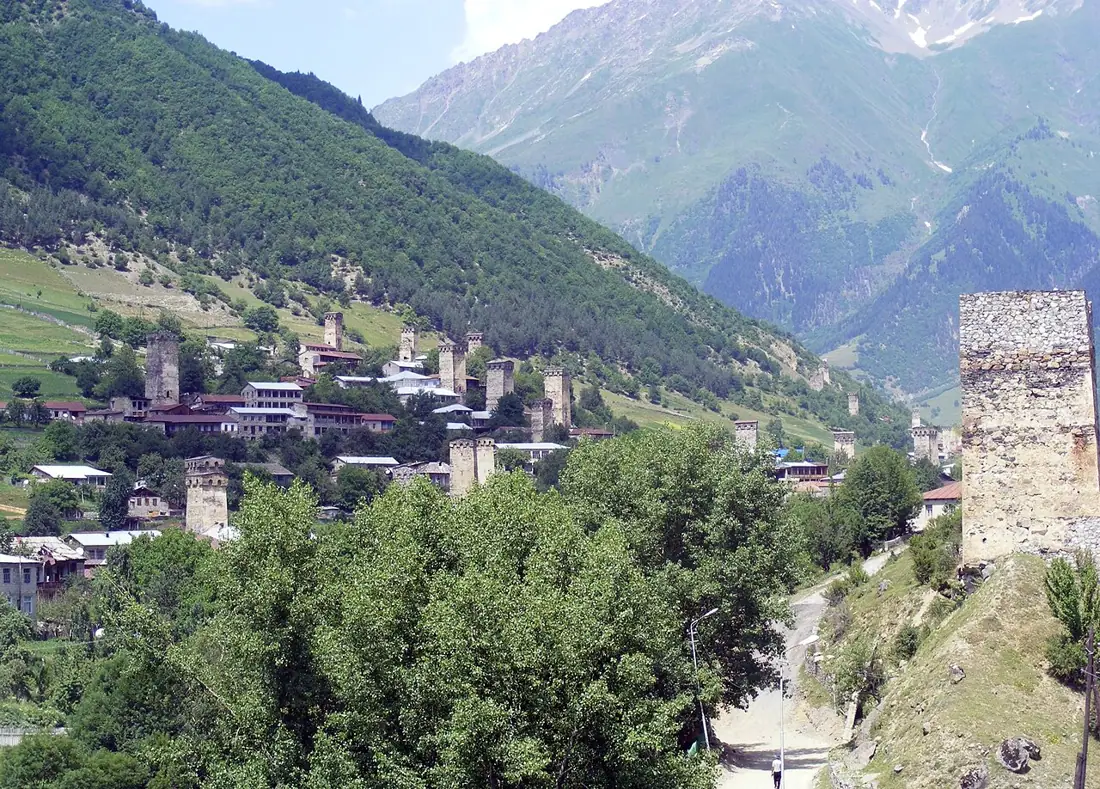 Town
TownMestia and the Svan Towers
Upper Svaneti's main town at 1,500 m — medieval stone defence towers, two strong museums and the trailhead for every route in the region.
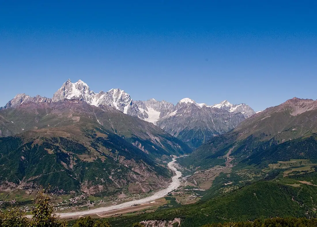 Ski area
Hatsvali and Tetnuldi Ski Areas
Mestia's two ski zones — Hatsvali with sheltered forest runs, and Tetnuldi, where the lifts pass 3,000 metres.
Booking and enquiries
This site is informational — there is no online payment. Call or email us to book.