Machakhela National Park
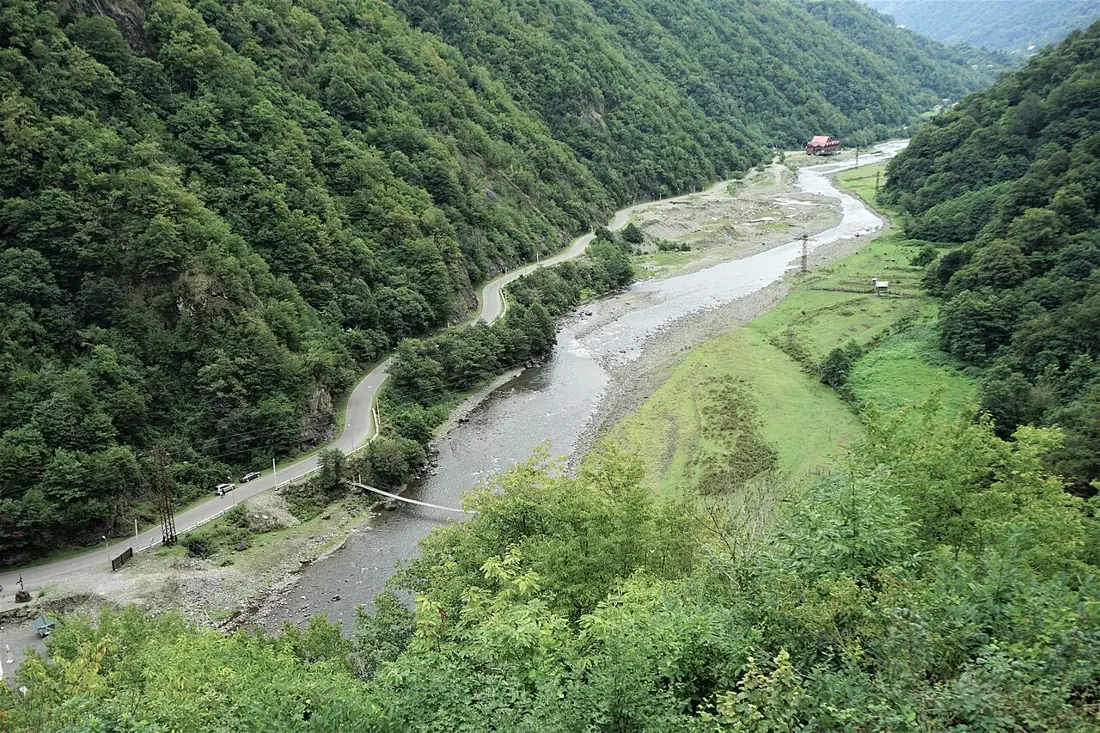
A Colchic forest valley running to the Turkish border, with arched bridges and villages of gunsmiths.
- Time needed
- 4 h
- From Tbilisi
- 400 km · 6:15
- Road
- Mostly paved
- Car needed
- Crossover / SUV
- Season
- May–October
- Entry
- free
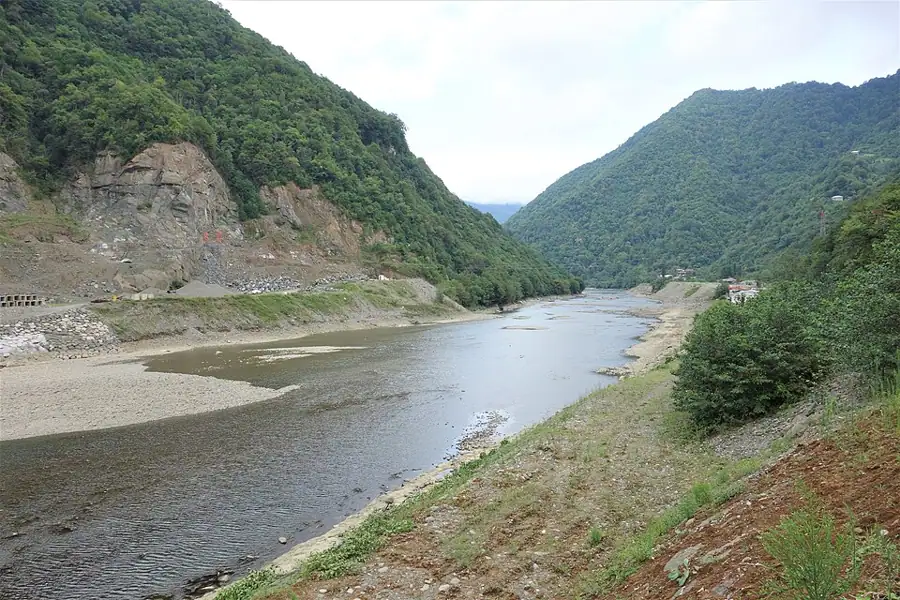
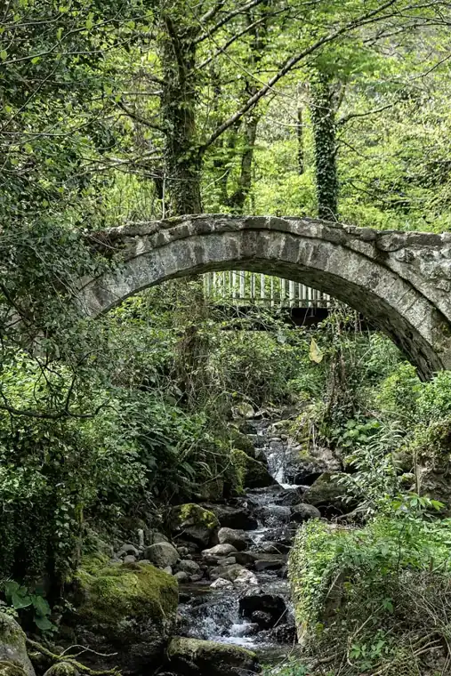
The Machakhela valley is the least altered corner of Adjara. The Machakhlistsqali comes down from the Turkish frontier and joins the Chorokhi near Gonio; the valley is narrow, steep on both sides, and the forest is close to untouched. A national park was declared here in 2012, running from Lashkarisheni up to the border. The woodland is what botanists call Colchic relict forest — a habitat that survived the last glaciation intact. Chestnut, beech and oak above, and beneath them an evergreen understorey of rhododendron, cherry laurel and box. Bear, lynx and chamois are all recorded, though your chance of seeing one is close to nil. What you will certainly notice is the density: on the valley slopes, sunlight barely reaches the ground. The cultural side of the valley matters just as much: - The Machakhela rifle — in the 18th and 19th centuries smiths here made the finest handmade firearms in the Caucasus; the craft has all but vanished, but individual pieces are still kept in the villages - Arched bridges, several of them, the best known near Tsivaleti and Chikuneti - Wooden houses with carved balconies on stone footings, still lived in The park has a visitor centre and marked trails, though the infrastructure is more modest than at Mtirala. That is exactly the point. No coaches come up here, and on a Saturday you can easily find yourself alone on the path.
Gallery
Practical advice
Half a day covers the visitor centre, one short trail and a drive through the villages. This is a border zone: carry your passport, as the border police check regularly. Ticks and nettles are common in the forest, so wear long trousers and closed shoes. Rain is frequent here all year. Cafes exist only in the lower villages — bring water and food from Batumi.
How to get there from Tbilisi
From Batumi drive south to the Chorokhi bridge, then turn left into the Machakhela valley and follow it east and upstream — 400 km from Tbilisi in total, about six and a quarter hours. The first twenty kilometres of the valley are asphalt; higher up the surface becomes gravel and potholed. Good ground clearance genuinely helps, especially after rain. Fuel is available in Batumi and Adlia and nowhere in the valley. Leave the car at the visitor centre or at the end of the village road.
Click a marker for details. Coloured lines are ready-made road trips.
Nearby places
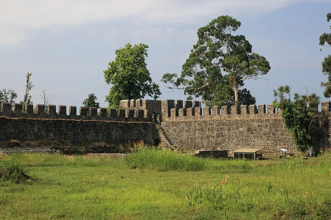 Fortress
Gonio-Apsaros Fortress
A Roman military fort south of Batumi — 18 towers, active excavations and a grave traditionally linked to an apostle.
 Nature
Mtirala National Park
Colchic rainforest behind Batumi — one of the wettest places in Europe, with trails, a waterfall and a zipline.
 Beach
BeachKvariati
The clearest water on the coast south of Batumi, on a pebble shore where the mountains reach the sea.
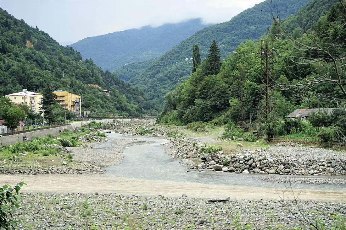 Archaeology
Dandalo Arched Bridge
A medieval single-span stone bridge over the Adjaristsqali above Keda, still crossable on foot.